What is recorded here
Derreenataggart East holds a smooth rock marked with at least eight small cups, set beside a standing stone pair on the foothills of Miskish Mountain. The rock slopes downward like a tongue stretching toward the earth, inviting people to wonder whether they measured rain, marked territory, or simply repeated a gesture older than memory.
In rough upland grazing, on a SE-facing slope on the SE foothills of Miskish Mountain. At least eight cupmarks (av. diam. 0.05m x D c. 0.03m) are visible on the smooth upper surface of a natural rock (1.3m NW-SE x 1m NE-SW). The rock, which slopes downwards to the NE, is set at the base of the NE side of a field boundary. There is a standing stone pair (CO115-116----) on the SW side of this field boundary.
The above description is derived from 'The Archaeological Inventory of County Cork. Volume 5' (Dublin: Stationery Office, 2009).
Date of upload: 22 December 2009
Likely dating to the Neolithic or Bronze Age, the cupmarked stone may have had ritual or ceremonial significance, possibly linked to water or fertility symbolism. Such markings are often associated with wider ritual landscapes in upland areas.
The monument record does not grant public access. Check the route and ask the landowner before entering private land.
- What survives
- Recorded monument
Places near here
 Fulacht fia in Derreenataggart EastFulacht fia · 223 yd
 Boulder-burial in Derreenataggart EastBoulder-burial · 232 yd
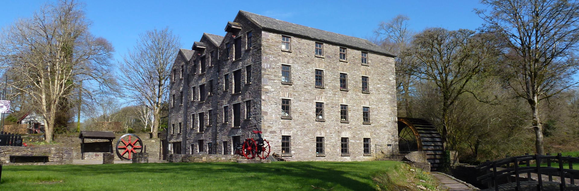 Tuck MillMill, fulling · 907 yd
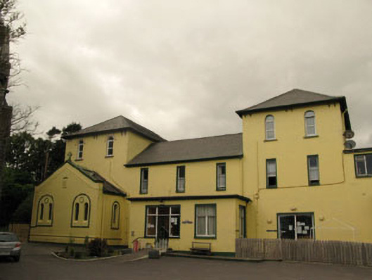 Harbour Lodgeconvent/nunnery · 1407 yd
 Berehaven Battalion MemorialMemorial · 1492 yd
 Sarah Walker GalleryGallery · 1527 yd
 Dinish IslandIslet · 1.3 mi
 Eagle HillMountain / peak · 1.3 mi
 Miskish MountainMountain / peak · 1.7 mi
 Sheep IslandsIslet · 1.7 mi
 Castle (in Ruins)Castle, tower house · 1.9 mi
 Siege of Dunboysiege · 1.9 mi