What is recorded here
The official Northern Ireland record identifies this as CUP-&-RING-MARKED STONE. Recorded period: PREHISTORIC; BRONZE AGE. The official map point was placed at the centre of the recorded archaeological site from the source map reference.
The monument record does not grant public access. Check the route and ask the landowner before entering private land.
- What survives
- Recorded monument
Places near here
 ENCLOSURE (O.S. memoir site, unlocated) in LarganteaENCLOSURE (O.S. memoir site, unlocated) · 1.1 mi
 COUNTERSCARP RATH; possibly HILLFORT in DunmoreCOUNTERSCARP RATH; possibly HILLFORT · 1.1 mi
 Ballyhanna ForestForest · 1.5 mi
 Springwell ForestForest · 1.7 mi
 Ballyhacket ViewPicnic place · 2.4 mi
 Keady MountainMountain / peak · 3.0 mi
 BinevenaghMountain / peak · 3.5 mi
 St. Mary's RC ChurchChurch · 3.6 mi
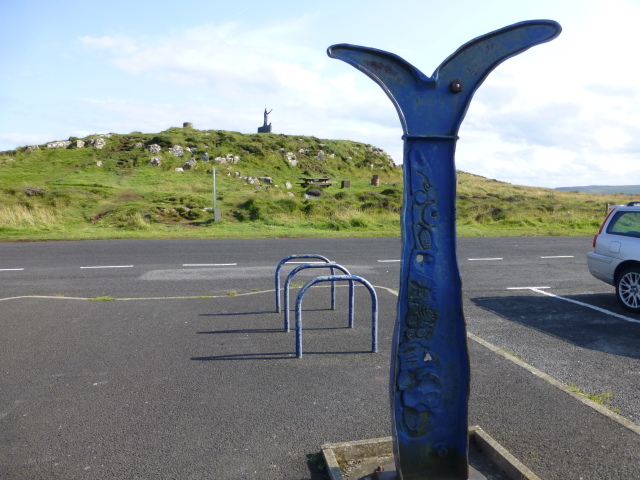 Millennium MilepostVisitor information · 3.8 mi
 Devil's ThumbNamed rock · 3.8 mi
 Hezlett HouseHeritage attraction · 4.1 mi
 CHURCH & GRAVEYARD in DownhillCHURCH & GRAVEYARD · 4.2 mi