What is recorded here
The official Northern Ireland record identifies this as CUP-&-RING-MARKED STONE. Recorded period: BRONZE AGE; PREHISTORIC. Recorded protection: Scheduled. The official map point was placed at the centre of the recorded archaeological site from the source map reference.
The monument record does not grant public access. Check the route and ask the landowner before entering private land.
- What survives
- Recorded monument
Places near here
 St Patrick's StatueMemorial · 949 yd
 Historic Settlement: Raholp in Ballintogher; RaholpHistoric Settlement: Raholp · 1.1 mi
 ABBEY; GRAVEYARD; MORTUARY HOUSES; COFFIN LID etc. : SAUL ABBEY in SaulABBEY; GRAVEYARD; MORTUARY HOUSES; COFFIN LID etc. : SAUL ABBEY · 1.1 mi
 CASTLE (unlocated) in SaulCASTLE (unlocated) · 1.1 mi
 ENCLOSURE? possibly natural in BallintogherENCLOSURE? possibly natural · 1.3 mi
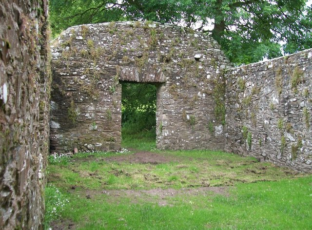 CHURCH, HOLY WELLS & BATH HOUSES: STRUELL WELLS in StruellCHURCH, HOLY WELLS & BATH HOUSES: STRUELL WELLS · 1.3 mi
 Struell WellsRuins · 1.3 mi
 St Patrick's WayWalking route · 1.4 mi
 Quoile PondageVisitor information · 1.9 mi
 Downshire Hospital Highway to HealthWalking route · 2.0 mi
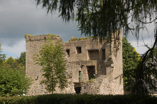 TOWER-HOUSE: QUOILE CASTLE in QuoileTOWER-HOUSE: QUOILE CASTLE · 2.0 mi
 Ringmore BayBay · 2.3 mi