What is recorded here
In a garden, immediately N of a bend in the Laune River and S of the main Killarney-Killorglin road (N72). A D-shaped area (20m N-S) defined by an earthen bank (Wth 3.5m; int. H 3.5m; ext. H 3.4m) SW-NE and by the straight precipice edges of the river bank (L 24m) to the E and S. An intervening fosse (Wth 6m) is evident SW-NE. An outer bank (Wth 5.05m; int. H 3m; ext. H 1.1m) is visible SW-NW. The interior slopes steeply down to the S. There is a hut site (KE057-060003-) in the interior. Natural springs surface in the fosse along the SW arc. According to local information, a fording point existed at the SW corner of this fort.
Compiled by: Elizabeth Byrne, Ursula Egan and Sheila Ronan, Archaeological Survey Unit, University College, Cork.
Date of upload: 31 January 2011
Cummer Fort, Dunmaniheen is a D-shaped early-medieval ringfort, likely dating to the 6th–10th centuries AD, characterized by a substantial earthen bank. Local folklore, common to many such sites in the region, associates it with fairy activity, and it may have been considered a sacred or otherworldly place in traditional belief.
The monument record does not grant public access. Check the route and ask the landowner before entering private land.
- What survives
- Recorded monument
Places near here
 CaveMan-made underground passage · 1324 yd
 Church in Dromavally (trughanacmy By., Killorglin Ed)Church · 1568 yd
 King Puck statueMemorial · 1735 yd
 bridgebridge · 1.0 mi
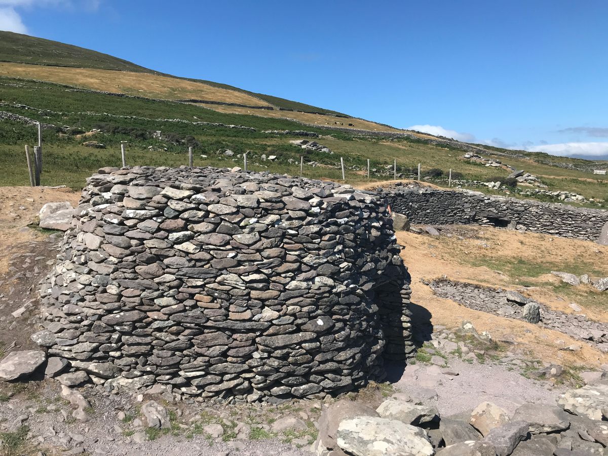 Enclosure in BanshaghEnclosure · 1.1 mi
 CastleCastle, tower house · 1.1 mi
 Cloon IslandIsland · 1.2 mi
 Clash IslandIslet · 1.5 mi
 Ballymalis Castle (in ruins)Castle, tower house · 3.1 mi
 The Kerry Creamery ExperienceHeritage attraction · 4.0 mi
 KnockbrackMountain / peak · 4.8 mi
 KnockroeMountain / peak · 5.4 mi