What is recorded here
Unlocated cultivation ridges within townland described in the OS letters (O'Flanagan 1933, vol. 1, p. 102).
Compiled by: Caimin O'Brien
Date of upload: 17 December 2007
The monument record does not grant public access. Check the route and ask the landowner before entering private land.
- What survives
- Recorded monument
Places near here
 RathshaneFairy fort / earthen ringfort · 232 yd
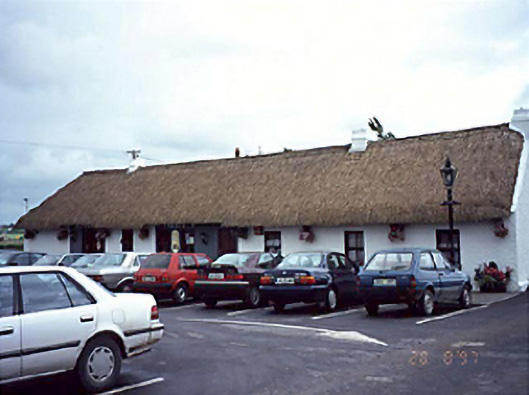 farm housefarm house · 435 yd
 Enclosure in Greatheath (maryborough East By.)Enclosure · 660 yd
 Catholic Church of the Assumptionchurch/chapel · 961 yd
 Morett Castle (in ruins)House, fortified house · 1.1 mi
 Coolbanagher Castle (ruins)Castle · 1.2 mi
 Pedunculate OakPedunculate Oak · 1.7 mi
 Rock of DunamaseCastle · 2.4 mi
 Rock of Dunamase InformationVisitor information · 2.4 mi
 Giant SequoiaGiant Sequoia · 2.8 mi
 Burial Ridge of MaryboroughMemorial · 4.0 mi
 Friary (in Ruins) GraveyardReligious house, unclassified · 4.3 mi