What is recorded here
Cudmore Farm Roman Fort stands in Mid Devon, England, marked only as a fort on the public map. The land may have swallowed the ramparts, roads and barracks beneath soil and grass, yet the name still points to a place where Roman hands shaped the earth. A soldier may have walked that ground, listened for danger, or watched the horizon change with the weather. The fort has vanished from sight but not from memory, waiting for someone to imagine the life hidden underneath the farm.
Cudmore Farm Roman Fort is shown as a fort on the public map of Mid Devon. The saved point is the map point or the centre of its mapped shape.
This does not grant access. Check current paths, opening conditions and ownership before entering.
Places near here
 Clayhanger: site of Roman fortCastle, fort or tower · 24 yd
 Hockworthy: Hendom CrossChurch, cross or graveyard · 776 yd
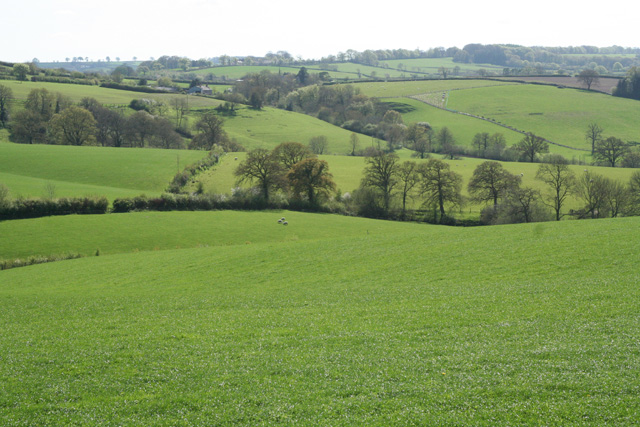 Clayhanger: south west from Bonny CrossChurch, cross or graveyard · 1287 yd
 Clayhanger: Brockham WoodForest or wood · 1631 yd
 Boundary StoneMonument or public art · 1.4 mi
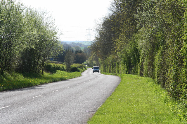 Clayhanger: the B3227 at Leigh WoodForest or wood · 2.1 mi
 Chipstable: south east to the Wellington MonumentHeritage place · 2.3 mi
 Hukeley BridgeVisitor information · 2.5 mi
 Huntsham CastleScheduled monument · 2.7 mi
 Sculpture, AshbrittlePublic sculpture · 2.8 mi
 Chubworthy CrossVisitor information · 3.1 mi
 Beacon HillMountain / peak · 4.4 mi