What is recorded here
Cuas na nGabhar is recorded as a bay in County Kerry. Its open map record supplies this location and any linked names or public references.
Cuas na nGabhar is a coastal rock feature or sea cliff in County Kerry, formed from Silurian-era sedimentary rocks, approximately 430 million years old. These rocks were deposited in a shallow marine environment and are notable for their exposure of folded and faulted strata, reflecting ancient tectonic activity in the region.
Places near here
 Cuas na gColúrBay · 73 yd
 Carraig ComharthaNamed rock · 75 yd
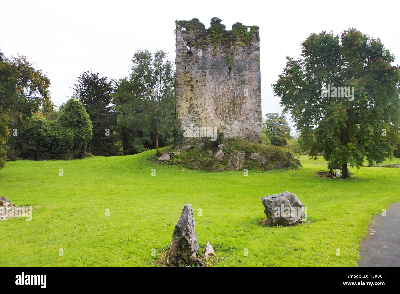 Indicated (1846).Enclosure · 344 yd
 Teampall a' Chaisil/Temple CashelRuins · 437 yd
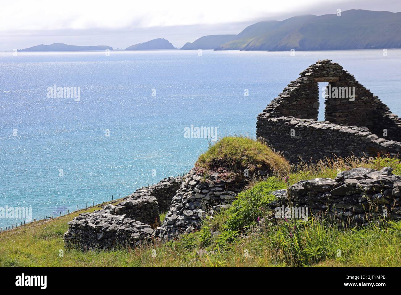 Hut site in Clochán CeannúighHut site · 1448 yd
 Cúm an EaspaigMountain / peak · 1461 yd
 BallynablounMountain / peak · 1539 yd
 Tobairin Holy WellSpring · 1.0 mi
 Tráigh na SplinceBeach / strand · 1.1 mi
 Cuas a' PhúcaCave · 1.3 mi
 Tráigh na CilleBeach / strand · 1.3 mi
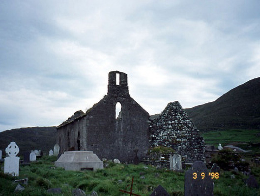 Séipéal na Cille [Killemlagh Catholic Chapel]church/chapel · 1.5 mi