What is recorded here
Cuas na nGabhar is recorded as a bay in County Kerry. Its open map record supplies this location and any linked names or public references.
Cuas na nGabhar is a coastal rock feature or sea cliff in County Kerry, formed from sedimentary rocks, likely Carboniferous limestone, shaped by marine erosion and wave action over millions of years. It is notable for its contribution to the dramatic coastal scenery typical of the region.
Places near here
 Cuas na DeirgeBay · 63 yd
 An Licín (Goats Island)Named rock · 69 yd
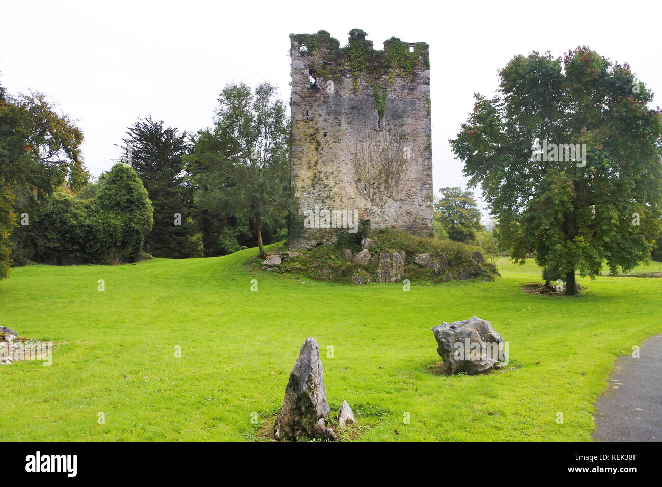 Indicated (1846).Enclosure · 358 yd
 Teampall a' Chaisil/Temple CashelRuins · 363 yd
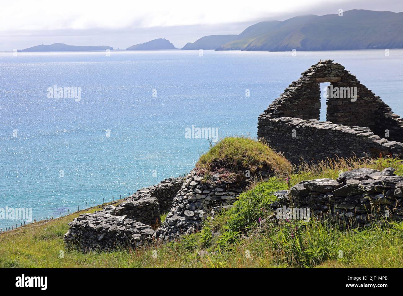 Hut site in Clochán CeannúighHut site · 1169 yd
 Cúm an EaspaigMountain / peak · 1283 yd
 BallynablounMountain / peak · 1551 yd
 Tobairin Holy WellSpring · 1702 yd
 Cuas a' PhúcaCave · 1.1 mi
 Tráigh na SplinceBeach / strand · 1.2 mi
 Tráigh na CilleBeach / strand · 1.2 mi
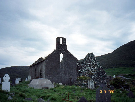 Séipéal na Cille [Killemlagh Catholic Chapel]church/chapel · 1.4 mi