
What is recorded here
Situated in a level landscape on the E side of the R132 Julianstown to Gormanstown and Balbriggan road, c. 1km SE of Julianstown bridge. Whitecross townland is marked on the Taylor and Skinner Maps of the Roads of Ireland (1783) and the cross is indicated as a feature (Andrews 1969, 2). An octagonal sandstone shaft (dims 0.29m x 0.29m; H 0.8m) has a mortice on top and half the sides have stops morphing into a rectangular form at the bottom. It is set in a rectangular limestone base (dims 0.82m x 0.72m; H c. 0.3m) with chamfered upper edges. There is no inscription. It is now in the front garden of a house.
The above description is derived from the published 'Archaeological Inventory of County Meath' (Dublin: Stationery Office, 1987). In certain instances the entries have been revised and updated in the light of recent research.
Compiled by: Michael Moore
Date of revision: 17 April, 2015
The monument record does not grant public access. Check the route and ask the landowner before entering private land.
- What survives
- Recorded monument
Places near here
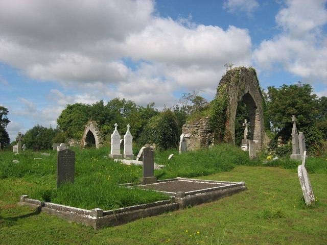 Church (in Ruins)Church · 690 yd
 Battle of Julianstownbattle · 866 yd
 IndicatedChurch · 1061 yd
 Ballygarth CastleCastle · 1104 yd
 Enclosure in Smithstown (duleek Lower By.)Enclosure · 1414 yd
 Enclosure in Corballis (duleek Upper By.)Enclosure · 1464 yd
 MoatCastle, motte · 1.4 mi
 SycamoreSycamore · 2.4 mi
 European YewEuropean Yew · 2.6 mi
 Beaulieu House and GardensHeritage attraction · 4.5 mi
 Clonard SpringSpring · 4.7 mi
 Newgrange Business ParkMemorial · 5.1 mi
Other information
Photo: Credit not shown in the picture search · Rights wording not checked; contact us if this picture should be removed