What is recorded here
Half a metre of local stone stands forty-five centimetres from the western church wall, bearing a Latin cross with triangular terminals and a central disc. The base has sunk below ground, hiding the footprint that may have marked a burial or a boundary. The slab vanished from later inspection despite surrounding graves and fragments remaining visible. It still belongs to the lease, waiting for someone careful enough to dig around its hidden root.
In a graveyard (CO006-006005-), within an early ecclesiastical enclosure (CO006-006011-), 4.5m outside the W gable of a church (CO006-006006-). This upright slab (H c. 0.5m; Wth c. 0.25m) is incised on the E face with a single-line Latin cross, with central circular panel and expanded triangular terminals at the head and arms; the base is below ground level. In 1990 Henderson and Okasha (1992, no. 15, 3) could not find this stone, and it has still not been identified during later inspections. There are many other inscribed slabs, cross-slabs and fragments of cross-slabs within the church and the graveyard (including CO006-006007- and CO006-006009-).
The above description is derived from the published 'Archaeological Inventory of County Cork. Volume 4: North Cork' (Dublin: Stationery Office, 2000). In certain instances the entries have been revised and updated in the light of recent research.
Date of upload: 14 January 2009
Date of last revision: 08 September 2025
The monument record does not grant public access. Check the route and ask the landowner before entering private land.
- What survives
- Recorded monument
Places near here
 Tullylease Church (in ruins)Church · 17 yd
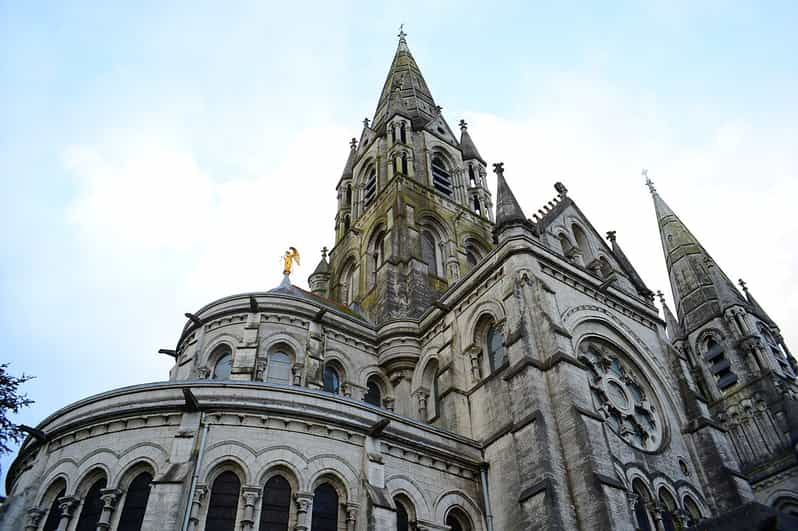 St Benjamins WellHoly well · 56 yd
 IndicatedEcclesiastical enclosure · 59 yd
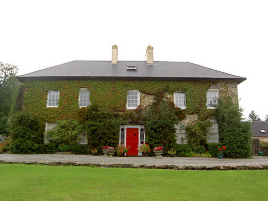 Tullylease Housecountry house · 1081 yd
 National Co-op MuseumMuseum · 2.1 mi
 Castle (in ruins), Springfield CastleCastle, tower house · 2.5 mi
 Castle LisheenCastle · 2.6 mi
 ToberacappeenSpring · 3.3 mi
 ToberhoranSpring · 4.5 mi
 Mullaghareirk - Banane LoopWalking route · 4.7 mi
 Ballagh MountainMountain / peak · 6.8 mi
 KnockacummerMountain / peak · 7.2 mi