What is recorded here
In a graveyard (MA021-035002-) named ‘Kilfian’ on the 1838 OS 6-inch map, located in the oldest part, at the S end of a walled 20th-century extension. A pillar-like sandstone block (L at least 0.62m; Wth 0.18m; T 0.08-0.1m), rectangular in cross-section, set upright in the ground, with a narrow-limbed Latin cross (L at least 0.44m) inscribed in false relief on the W face. The top of the cross is 0.07m below the top of the stone; the base is not visible as it is concealed below ground. The arms (H 0.03m) extend the full width of the stone. The cross is outlined by a shallow groove (Wth 0.01-0.015m) which expands to four roughly circular ‘armpits’ or depressions (diam. 0.04m) flanking the intersection of the vertical and horizontal members, giving the effect of a ringed-cross. At the centre of the intersection, there is a shallow circular dimple or depression (diam. 0.02m). The portion of the shaft (L 0.14m) which rises above the arms is embellished with a slightly hollowed centre, and widens gradually along its length to an expanded terminal. The portion of the shaft (L at least 0.25m) which extends below the arms is plain, and retains a uniform width (0.02m).
Compiled by: Jane O'Shaughnessy
Date of upload: 17 May 2016
Likely dating to the early Christian period, this cross-slab may have originally marked a burial or served as a memorial within the ancient graveyard. Such stones often carried Christian symbols and were associated with local saints or religious practices.
The monument record does not grant public access. Check the route and ask the landowner before entering private land.
- What survives
- Recorded monument
Places near here
 RathmeelFairy fort / earthen ringfort · 662 yd
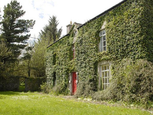 Smithstown Housefarm house · 825 yd
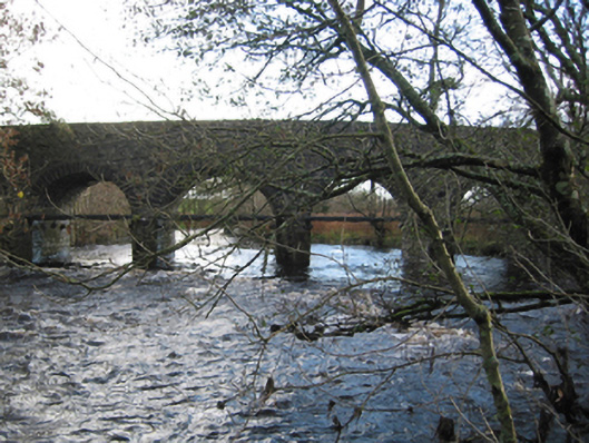 Tonrehown Bridgebridge · 932 yd
 RathnadiffFairy fort / earthen ringfort · 1052 yd
 Rathroe CastleCastle · 1700 yd
 Bawn in FarraghBawn · 2.0 mi
 Battle of Killalabattle · 3.4 mi
 Green IslandIslet · 3.8 mi
 Lisheen Grave YardArchaeological place · 4.3 mi
 Rinnaun PointHeadland · 4.3 mi
 Battlefields of MoyneBattlefield · 4.5 mi
 Moyne AbbeyHeritage attraction · 5.0 mi