What is recorded here
Situated in the graveyard associated with the preceptory of the Knights Hospitallers at Kilmainhamwood (ME005-028004-). The sandstone cross-slab (dims 0.46m x 0.13m; H 1.08m) has a rectangular hole (dims 0.14m x 0.12m) near the top, and on the E side is a ringed cross in relief. The shaft and arms (Wth 11-12cm) are delineated by two raised lines and the two raised lines of the ring (int. diam. 0.16m; ext. diam. 0.25m) connect the lines of the shaft and arms.
The above description is derived from the published 'Archaeological Inventory of County Meath' (Dublin: Stationery Office, 1987). In certain instances the entries have been revised and updated in the light of recent research.
Compiled by: Michael Moore
Date of upload/revision: 31 July 2014
12th- to 13th-century cross-slab, likely associated with Christian burial practices linked to the Knights Hospitallers; the rectangular hole may have served as a ring for hanging a bell or as part of a ritual or symbolic function.
- Townland
- Kilmainhamwood
- Official type
- Cross-slab
- Official record
- ME005-028002-
- What survives
- Recorded monument
- Location
- Official recorded centre point
The monument record does not grant public access. Check the route and ask the landowner before entering private land.
Places near here
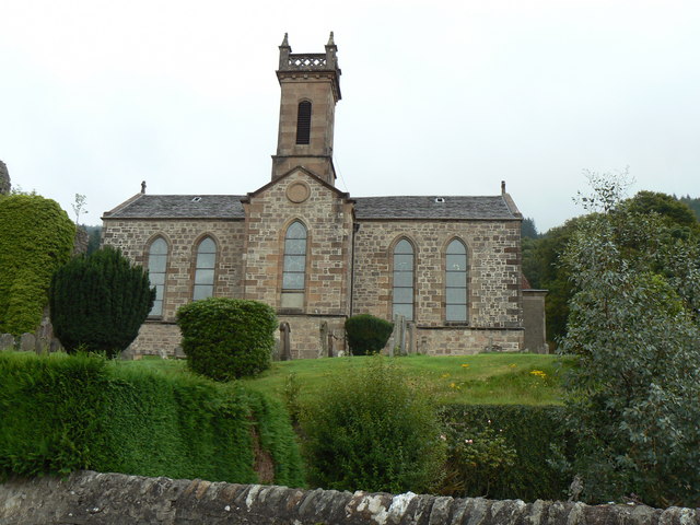 Site of Kilmainhamwood Parish ChurchArchaeological place · 16 yd
 Font in KilmainhamwoodFont · 33 yd
 presbytery/parochial/curate's house — Kilmainhampresbytery/parochial/curate's house · 206 yd
 Catholic Church of the Sacred Heart — Kilmainhamchurch/chapel · 219 yd
 GNR Christmas TreesForest · 1.0 mi
 Miltown GlenWood · 1.3 mi
 Castkecome Ruins — ArdmaghbreagueCastle — unclassified · 2.0 mi
 Gallows HillMountain / peak · 2.5 mi
 UghtyneillMountain / peak · 3.0 mi
 Moat — NobberCastle — motte and bailey · 3.1 mi
 Nobber GreenwayMemorial · 3.2 mi
 Owenroe and Moynalty DrainageMemorial · 4.4 mi