What is recorded here
KE063-008---- is located in a narrow strip of pasture between the Behy river and Curra Wood. It is noted as an unenclosed children's burial ground in the OSNB (Glanbeagh, 45), but was in use as a formal graveyard for at least part of the twentieth century. Towards the centre of the site is an overgrown area, marked by holly and ash trees, which measures 28m N-S x 27m E-W and is raised .7m on average above the surrounding ground level. On its uneven surface are approximately 100 uninscribed upright slabs; these average .3m high and most are aligned in NW-SE rows. There are similar grave-markers in the S portion of the graveyard, but these appear to be of more recent date.
A small slab at the N end of the site bears a plain Latin cross on its NE face.
The above description is derived from A. O'Sullivan and J. Sheehan (compilers), 'The Iveragh peninsula: an archaeological survey of South Kerry'. Cork University Press (1996), no. 993. In certain instances the entries have been revised and updated in the light of recent research.
Date of upload: 30 July 2013
The monument record does not grant public access. Check the route and ask the landowner before entering private land.
- What survives
- Recorded monument
Places near here
 ToberykeelHoly well · 335 yd
 Gowlane R.C. Chapel (in Ruins)Church · 493 yd
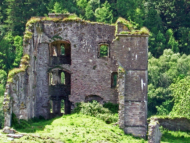 Glenbeigh Towerscountry house · 526 yd
 CaveMan-made underground passage · 579 yd
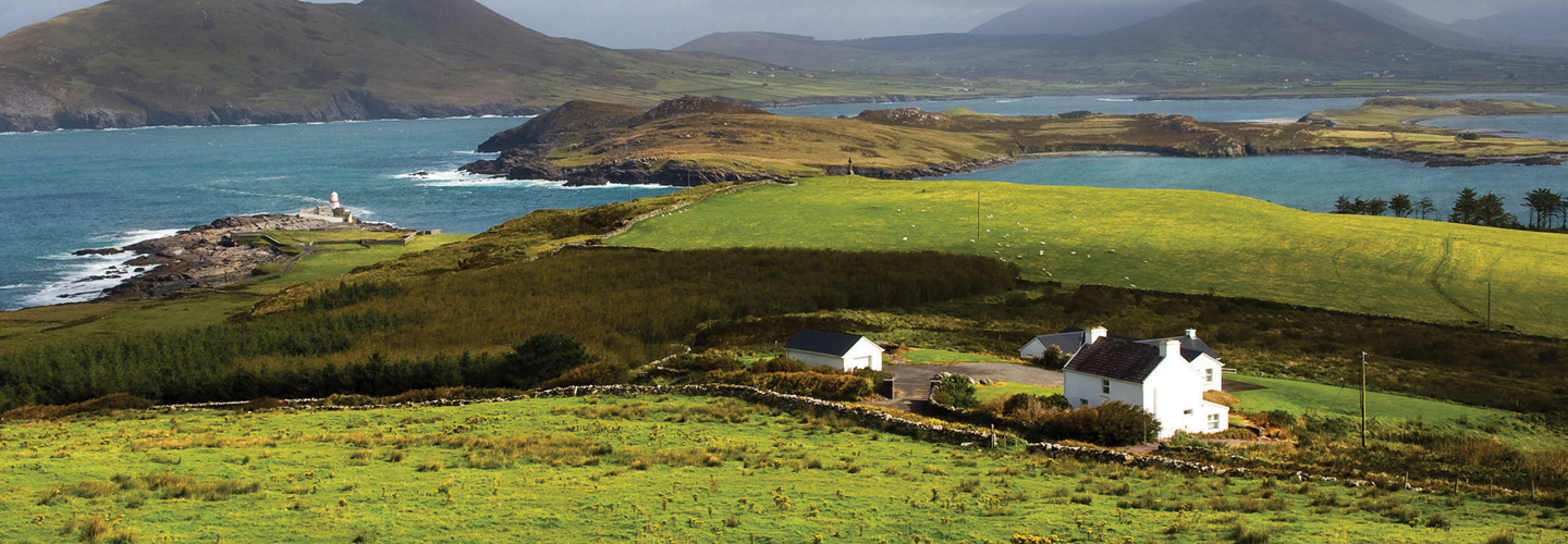 LaghtsheeMountain / peak · 1063 yd
 SeefinMountain / peak · 1.5 mi
 Rossbeigh BeachBeach / strand · 1.7 mi
 Lough Nambrackdarrig Nature ReserveNature reserve · 3.1 mi
 Kerry Bog VillageHeritage attraction · 3.3 mi
 Mountain StageViewpoint · 3.7 mi
 Lough Yganavan Nature ReserveNature reserve · 3.9 mi
 FeaklecallyHeadland · 4.6 mi