What is recorded here
In the NE sector of an ecclesiastical enclosure (TS074-010----) known as St. Berrihert's Kyle and incorporated into a 'station' adjacent to the NNE bank of the ecclesiastical enclosure. It is described by Ó hÉailidhe (1967, 116) as slab 51, composed of red sandstone (dims 0.4m x 0.18m; 0.08m). 'Outlined Latin cross with open ends, lightly pocked. The back is blank' (ibid.).
Compiled by: Jean Farrelly
Date of upload: 07 July 2014
The monument record does not grant public access. Check the route and ask the landowner before entering private land.
- What survives
- Recorded monument
Places near here
 Site of St.Berriherts Church; Grave YardChurch · 15 yd
 CrossCross, High cross · 24 yd
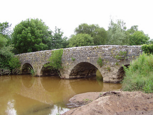 Ashgrove Bridgebridge · 815 yd
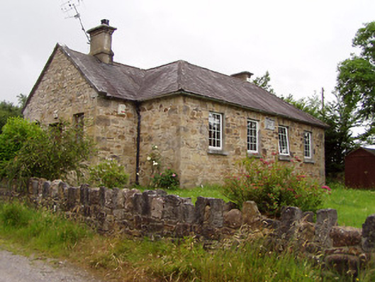 Ardane National Schoolschool · 1034 yd
 Ballydavid WoodWood · 1.7 mi
 SturrakeenMountain / peak · 1.8 mi
 Pedunculate OakPedunculate Oak · 2.0 mi
 Laghtshanaquilla North-East TopMountain / peak · 2.0 mi
 Cappa Castle (in ruins)Castle, tower house · 2.1 mi
 Cashlaunbeg (in ruins)Bawn · 2.1 mi
 The RockViewpoint · 3.9 mi
 Christ the KingViewpoint · 4.0 mi