What is recorded here
A slab (DG080-017002-) 1.55m × 0.44m (NNE-SSW) and 0.11m thick. It is decorated on both faces. W face: a quartered square design to the top is connected by a double band to a roundel flanked by two D-shaped motifs. The double band then continues to the bottom. E face: Three square panels enclosed and connected by an incised frame. The bottom panel is blank and the top two consist of two similar motifs: a central square with projecting cruciform arms connecting up with an outer band. The cross slab is enclosed by a circular drystone enclosure (DG080-017001-) c. 4m in diameter. It is situated in the centre of the Glencolumbkille valley floor on good pasture land.
The above description was derived from the 'Archaeological Survey of County Donegal. A description of the field antiquities of the County from the Mesolithic Period to the 17th century.' Compiled by: Brian Lacey with Eamon Cody, Claire Cotter, Judy Cuppage, Noel Dunne, Vincent Hurley, Celie O'Rahilly, Paul Walsh and Seán Ó Nualláin (Lifford: Donegal County Council, 1983). In certain instances the entries have been revised and updated.
Date of upload: 22 September 2008
Probably dating to the early Christian period, the cross-slab likely served a commemorative or liturgical function, with its iconography reflecting Christian symbolism and possibly local artistic traditions. The D-shaped motifs and roundel may represent early forms of cross design or have ritual significance.
The monument record does not grant public access. Check the route and ask the landowner before entering private land.
- What survives
- Recorded monument
Places near here
 An Droim Rua Carved Cross-Slab PlaceEnclosure · 3 yd
 Glencolumbkille TurasArchaeological place · 13 yd
 IndicatedChurch · 277 yd
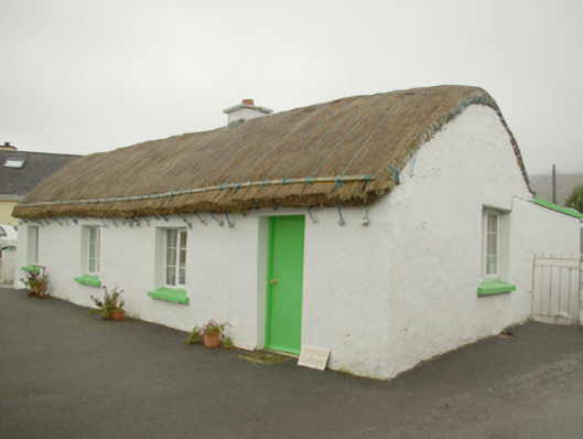 Teachín Tessiehouse · 519 yd
 Glencolmcille Old GraveyardGraveyard · 774 yd
 Trá an GhleannaBeach / strand · 1725 yd
 Glencolmcille Folk VillageMuseum · 1.2 mi
 An Trá Bheag (Trá Bheag an Ghleanna)Beach / strand · 1.3 mi
 Rossan PointHeadland · 3.4 mi
 An Tor MórIslet · 3.7 mi
 CroaghstraleelMountain / peak · 3.8 mi
 Slieve LeagueMountain / peak · 4.1 mi