What is recorded here
The following description is derived from both the published 'Archaeological Inventory of County Louth' (Dublin: Stationery Office, 1986) and the 'Archaeological Survey of County Louth' (Dublin: Stationery Office, 1991). In certain instances the entries have been revised and updated in the light of recent research.
Date of upload/revision: 17 July 2007
Locally known as the 'Soldier's Stone', embedded in S bank of the roadway c. a quarter of a mile E of Blakestown crossroads. It is a large, almost oval slab (max. L 1.92m, max. Wth 1.12m, T 0.04m) with rough surfaces and irregular edges. The decoration, which is confined to one end of the stone, consists of a broadly incised Latin cross with its head contained within a finely cut circle. The arms splay gradually towards their extremities and the top and base of the stem have pronounced irregularly-shaped splays. The basal portion of the stem has a crosslet with arms of unequal length. There are three small Latin crosses faintly incised on the stone close to the base of the main cross. (CLAJ 1946, 105; PRIA 61C, figs 13:3 and 28:5, pl. XXI:1)
The monument record does not grant public access. Check the route and ask the landowner before entering private land.
- What survives
- Recorded monument
Places near here
 Man-made underground passage in BlakestownMan-made underground passage · 622 yd
 Holy well in MillockstownHoly well · 625 yd
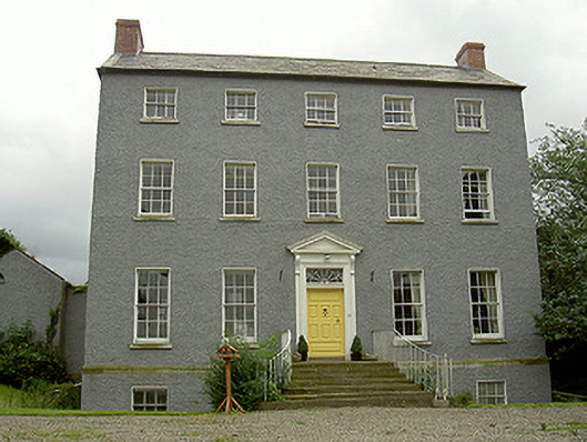 Kildemock Houserectory/glebe/vicarage/curate's house · 818 yd
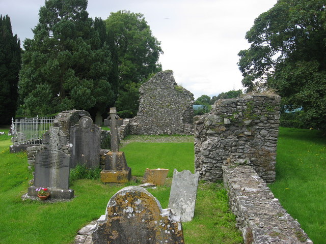 Kildemock Church (in ruins)Church · 858 yd
 CastleCastle, tower house · 1.7 mi
 Dawsons MoatCastle, motte and bailey · 1.7 mi
 Valley WoodWood · 1.7 mi
 European White ElmEuropean White Elm · 1.7 mi
 Sir Frederick Foster MemorialMemorial · 1.9 mi
 Graveyard in StickillinGraveyard · 2.0 mi
 Mount OrielMountain / peak · 2.9 mi
 Black HillMountain / peak · 4.2 mi