What is recorded here
Cross stood at the edge of Carndonagh until erosion threatened to swallow it, forcing a move east toward the graveyard where it now rests under cover. The high cross and its two stone companions left their original ground not through neglect but through a decision to keep them visible. That rescue transformed a dying marker into a preserved witness, carrying its shapes through danger rather than losing them to the sea.
This monument number records the original location of a high cross, which is a National Monument in state ownership (no. 271). The location is indicated as ‘Cross’ on the 1836 and 1907 OS 6-inch maps. The high cross, and two stone sculptures (DG011-035007-; DG011-035008-) associated with it, were moved to protect them from erosion. They were moved to a covered area located immediately to the E of Carndonagh graveyard (DG011-035006-). The present location of these monuments is recorded under the numbers: DG011-035009-; DG011-035010-; DG011-035011-, where descriptions of the monuments can be read.
Date of revised upload: 8 February 2018
The monument record does not grant public access. Check the route and ask the landowner before entering private land.
- What survives
- Recorded monument
Places near here
 Former Site of Carndonagh South Pillar StoneStone sculpture · 1 yd
 Carndonagh South Pillar StoneStone sculpture (present location) · 37 yd
 Donagh ChurchChurch · 46 yd
 Donagh Church of Ireland Churchchurch/chapel · 47 yd
 Carndonagh Early Church GraveyardGraveyard · 50 yd
 Wee Slieve SnaghtMountain / peak · 4.0 mi
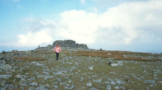 Slieve SnaghtMountain / peak · 4.4 mi
 Dough Famine VillageHeritage attraction · 4.7 mi
 Doagh Famine VillageMuseum · 4.8 mi
 Lag GraveyardGraveyard · 5.3 mi
 Five Finger StrandBeach / strand · 5.4 mi
 CuldaffOfficial bathing water · 5.8 mi