What is recorded here
Cross-carved standing stone in Edenmore, County Down. Uncertain period, possibly eighteenth century. A tall stone still stands where people once marked the earth with a cross, perhaps for prayer, warning or memory. The carve work is simple but deliberate, and the place keeps that human urgency intact.
The official Northern Ireland record identifies this as CROSS-CARVED STANDING STONE. Recorded period: UNCERTAIN; C18TH. The official map point was placed at the centre of the recorded archaeological site from the source map reference.
Probably dating to the early Christian period, this cross-carved standing stone may have served a religious or commemorative function, reflecting the spread of Christianity in the region. Such stones often marked territorial boundaries, burial sites, or waypoints along pilgrimage routes.
The monument record does not grant public access. Check the route and ask the landowner before entering private land.
- What survives
- Recorded monument
Places near here
 ENCLOSURE in BenaghENCLOSURE · 888 yd
 ENCLOSURE in AughnagonENCLOSURE · 995 yd
 Crown BridgeBridge · 2.3 mi
 Crown Bridge NewBridge · 2.8 mi
 Goin Back AreaCliff · 2.9 mi
 Iron Hawk AreaCliff · 2.9 mi
 POST-MEDIEVAL CHURCH & GRAVEYARD: ST. PATRICK'S in NewryPOST-MEDIEVAL CHURCH & GRAVEYARD: ST. PATRICK'S · 3.3 mi
 Greenbank TrailWalking route · 3.4 mi
 Newry and Mourne MuseumMuseum · 3.5 mi
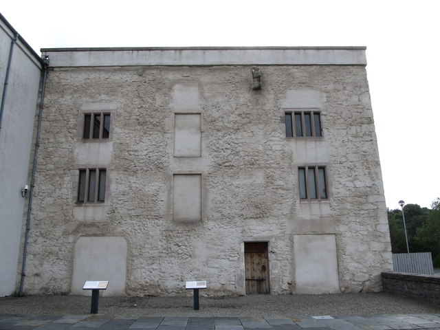 TOWER-HOUSE: BAGENAL'S CASTLE in NewryTOWER-HOUSE: BAGENAL'S CASTLE · 3.5 mi
 Bagenal's CastleCastle · 3.5 mi
 Basin Walk Car ParkVisitor information · 3.5 mi