What is recorded here
The official Northern Ireland record identifies this as Cropmark - Possible enclosure. Recorded period: UNCERTAIN. The official map point was placed at the centre of the recorded archaeological site from the source map reference.
The monument record does not grant public access. Check the route and ask the landowner before entering private land.
- What survives
- Recorded monument
Places near here
 Ballygrainey Presbyterian ChurchChurch · 1.1 mi
 MEDIEVAL CHURCH & HOSPITAL (site of): ST.MARY'S OF HAYTON in BallyhayMEDIEVAL CHURCH & HOSPITAL (site of): ST.MARY'S OF HAYTON · 1.9 mi
 Somme Heritage CentreMuseum · 2.0 mi
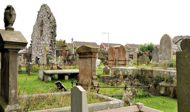 MOVILLA ABBEY: CHURCH OF THE AUGUSTINIAN CANONS in MovillaMOVILLA ABBEY: CHURCH OF THE AUGUSTINIAN CANONS · 2.1 mi
 ENCLOSURE in BallyhayENCLOSURE · 2.3 mi
 PLANTATION HOUSE & BAWN: CASTLE GARDENS in NewtownardsPLANTATION HOUSE & BAWN: CASTLE GARDENS · 3.0 mi
 North Down MuseumMuseum · 3.2 mi
 Bangor CastleCastle · 3.2 mi
 Kiltonga Nature ReserveNature reserve · 3.6 mi
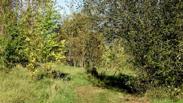 Kilcooley WoodWood · 3.7 mi
 Skippingstone BeachBeach / strand · 4.0 mi
 Scrabo HillMountain / peak · 4.1 mi