What is recorded here
Cropmark is a possible crannog in County Down, Ireland, yet no visible structure remains to mark the water's edge. The ground may still hold the shape of a dwelling, hidden beneath soil and grass like a forgotten thought. A person may have stood there in rain, listening for wood to knock against wood, while the lake took back what it could.
The official Northern Ireland record identifies this as Cropmark - Possible crannog. Recorded period: UNCERTAIN. The official map point was placed at the centre of the recorded archaeological site from the source map reference.
The monument record does not grant public access. Check the route and ask the landowner before entering private land.
- What survives
- Recorded monument
Places near here
 MEDIEVAL CHURCH & HOSPITAL (site of): ST.MARY'S OF HAYTON in BallyhayMEDIEVAL CHURCH & HOSPITAL (site of): ST.MARY'S OF HAYTON · 1.2 mi
 Ballygrainey Presbyterian ChurchChurch · 1.3 mi
 ENCLOSURE in BallyhayENCLOSURE · 1.7 mi
 Somme Heritage CentreMuseum · 2.6 mi
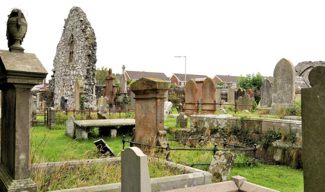 MOVILLA ABBEY: CHURCH OF THE AUGUSTINIAN CANONS in MovillaMOVILLA ABBEY: CHURCH OF THE AUGUSTINIAN CANONS · 2.6 mi
 PLANTATION HOUSE & BAWN: CASTLE GARDENS in NewtownardsPLANTATION HOUSE & BAWN: CASTLE GARDENS · 3.5 mi
 North Down MuseumMuseum · 3.6 mi
 Bangor CastleCastle · 3.6 mi
 Lake Walk, Mount StewartWalking route · 4.2 mi
 Kiltonga Nature ReserveNature reserve · 4.2 mi
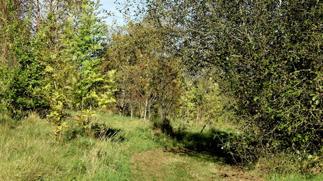 Kilcooley WoodWood · 4.2 mi
 Skippingstone BeachBeach / strand · 4.4 mi