What is recorded here
Cropmark is a dried-up lake in County Derry, Ireland, where a hidden crannog may still float beneath the soil. The land has forgotten water, but shape and shadow remain, waiting for rain or memory to bring them back.
The official Northern Ireland record identifies this as Cropmark - Dried up lake (possible crannog site?). Recorded period: UNCERTAIN. The official map point was placed at the centre of the recorded archaeological site from the source map reference.
The monument record does not grant public access. Check the route and ask the landowner before entering private land.
- What survives
- Recorded monument
Places near here
 ENCLOSURE in MullaghENCLOSURE · 825 yd
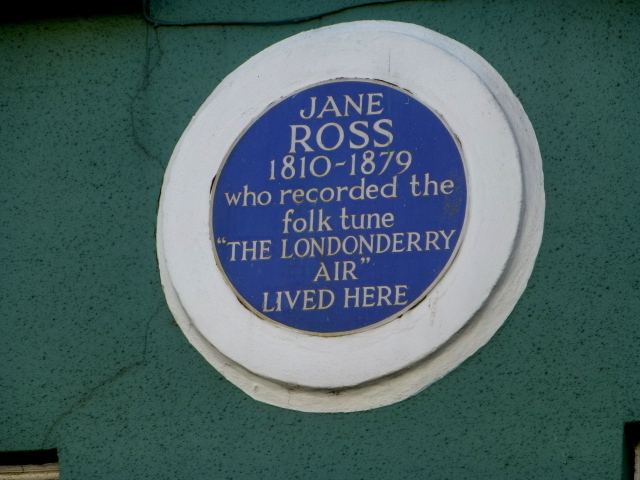 Where Jane Ross recorded Danny BoyMemorial · 836 yd
 TWO ENCLOSURES or TREE RINGS in MullaghTWO ENCLOSURES or TREE RINGS · 984 yd
 DrenaghCastle · 1.6 mi
 South Base TowerTower · 1.9 mi
 Green Lane MuseumMuseum · 1.9 mi
 Roe Valley Country ParkWood · 2.0 mi
 Ballykelly Presbyterian ChurchChurch · 2.1 mi
 Keady MountainMountain / peak · 4.1 mi
 Swann's BridgePicnic place · 4.3 mi
 Devil's ThumbNamed rock · 4.7 mi
 BinevenaghMountain / peak · 4.9 mi