What is recorded here
Crislaghmore Stone Ringfort is a 50m subcircular enclosure on the boggy summit of Cashel Hill in County Donegal, where the lowest course of a stone wall and a low earthen bank still trace a boundary that has vanished and been rebuilt repeatedly. Outcropping rocks, a small possible hut foundation and ancient field walls extend from the circle, suggesting people shaped the natural rock rather than fighting it. The fort may have marked territory, sheltered someone or belonged to fairy tradition, but its changing outline preserves more life than a dead monument would.
Internal diam. c. 50m. A subcircular area enclosed by only the lowest course of a stone wall and on the E side by a low earthen bank. The outline disappears frequently and on the S and SW it has been rebuilt. The interior has several outcropping rocks and the remains of a trigonometrical station and on the N side there is the outline of a small feature 2m × 4m; possibly a hut foundation (DG038-025002-). NE of the monument is a series of possibly ancient field walls (DG038-025003-) extending to the enclosure. It is situated on the summit of Cashel Hill in bogland and exploits the natural rock formation.
The above description was derived from the 'Archaeological Survey of County Donegal. A description of the field antiquities of the County from the Mesolithic Period to the 17th century.' Compiled by: Brian Lacy with Eamon Cody, Claire Cotter, Judy Cuppage, Noel Dunne, Vincent Hurley, Celie O'Rahilly, Paul Walsh and Seán Ó Nualláin (Lifford: Donegal County Council, 1983). In certain instances the entries have been revised and updated.
Date of upload: 22 September 2008
The monument record does not grant public access. Check the route and ask the landowner before entering private land.
- What survives
- Recorded monument
Places near here
 Cashel HillMountain / peak · 3 yd
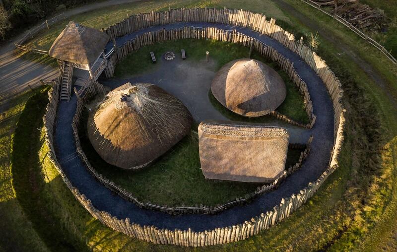 Fairy fort / ringfort in Castlequarter (fahan Ed)Fairy fort / ringfort · 1228 yd
 Fahan Catholic Churchchurch/chapel · 1238 yd
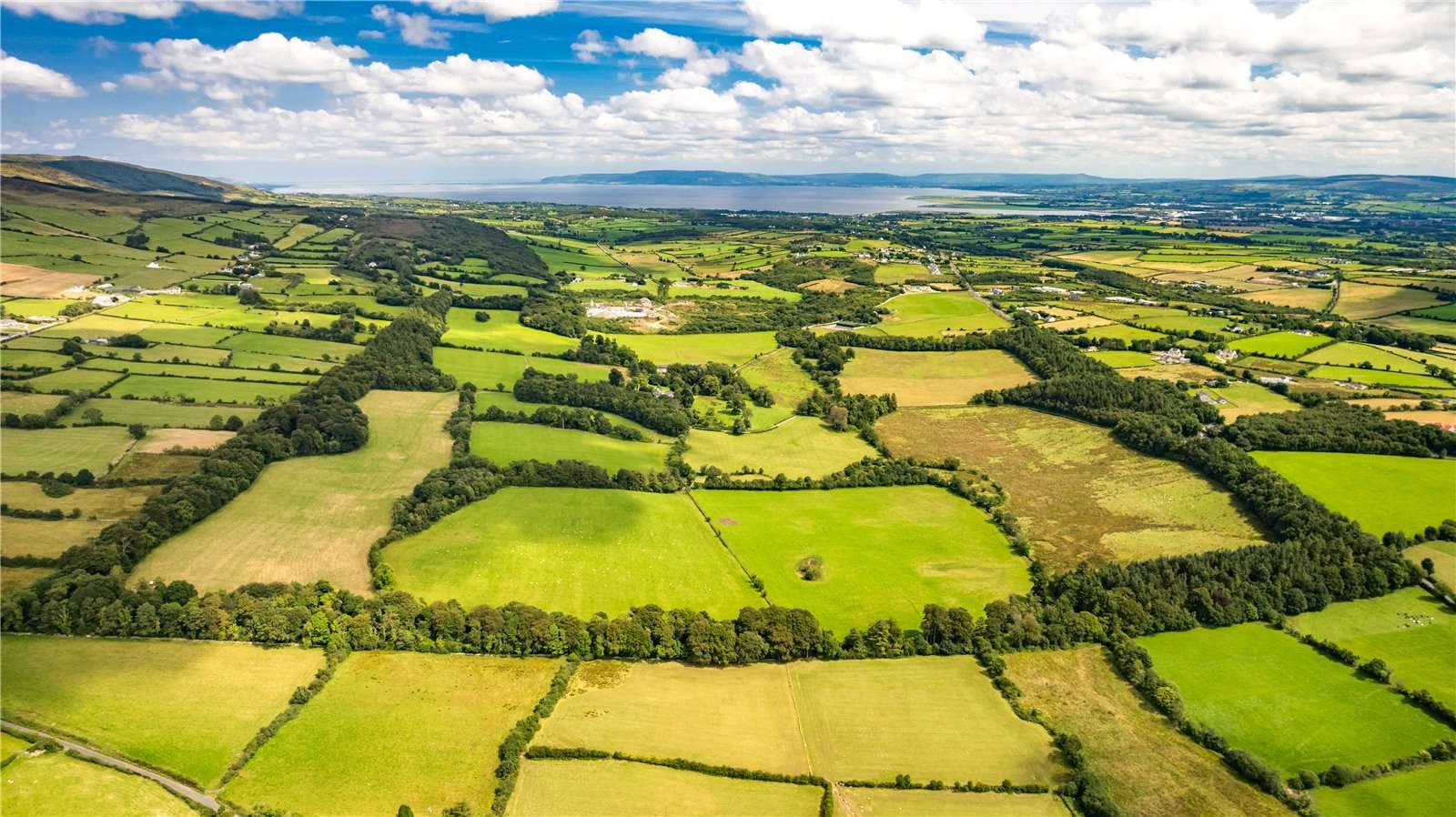 Former Garvary EnclosureEnclosure · 1.4 mi
 Castletownfarm house · 1.5 mi
 Bawn in An Machaire Beag (tc Fathain)Bawn · 1.5 mi
 Mass RockNamed rock · 2.0 mi
 Scalp MountainMountain / peak · 2.5 mi
 Brown’s PointHeadland · 3.1 mi
 InchIsland · 3.2 mi
 Lackan ForestForest · 3.2 mi
 LisfannonOfficial bathing water · 3.2 mi