What is recorded here
The official Northern Ireland record identifies this as CREMATION BURIALS. Recorded period: PREHISTORIC. The official map point was placed at the centre of the recorded archaeological site from the source map reference.
Cremation burials in Glengomna represent a prehistoric funerary practice, likely from the Bronze Age. They are significant as they provide evidence of ritual cremation and burial customs in early communities of the region.
The monument record does not grant public access. Check the route and ask the landowner before entering private land.
- What survives
- Recorded monument
Places near here
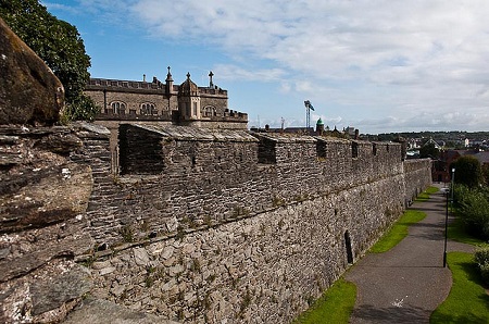 ENCLOSUREENCLOSURE, part of rath group? (O.S. memoir site, unlocated) · 766 yd
 St. Comgall's ChurchChurch · 1129 yd
 ENCLOSURE in DurnascallonENCLOSURE · 1511 yd
 Ulster BankBank · 2.6 mi
 Slieve Gallion NE TopMountain / peak · 3.0 mi
 Slieve GallionMountain / peak · 4.4 mi
 War MemorialMonument · 4.5 mi
 Craigadick Picnic AreaPicnic place · 4.7 mi
 Coltrim Picnic ParkPicnic place · 5.6 mi
 Bellaghy BawnMuseum · 6.5 mi
 PLANTATION CASTLE & BAWN on site of RATH: BELLAGHY BAWN in Old Town Deer ParkPLANTATION CASTLE & BAWN on site of RATH: BELLAGHY BAWN · 6.6 mi
 Lough FeaWalking route · 6.7 mi