What is recorded here
Crannog in Mucklaghan Glebe is a small rectangular island in the north-central part of Mucklaghan Lough, built or reinforced with timber stakes and still visible beneath scrub and stone. It sits in a wide, quiet water basin in County Leitrim, the kind of place where people may have lived, hidden, or simply marked a boundary long before maps learned its name. The lough keeps the shape of the island even when the island resists description, and that contrast is what makes it memorable.
Located in the N central part of the subcircular Mucklaghan Lough (max. dims c. 550m N-S; c. 350m E-W). This monument is not depicted on any edition of the OS 6-inch map. It is a scrub-covered, stony, rectangular island (dims 23m E-W; 8-10m N-S; H 0.5m) surrounded by timber piles at the S edge. Timber stakes also make up the island material visible at the centre.
The above description is derived from 'The Archaeological Inventory of County Leitrim' compiled by Michael J. Moore (Dublin: Stationery Office, 2003). In certain instances the entries have been revised and updated in the light of recent research.
Compiled by: Michael Moore
Date of upload: 23 September 2008
Amended: 6 December, 2019
The monument record does not grant public access. Check the route and ask the landowner before entering private land.
- What survives
- Recorded monument
Places near here
 Enclosure in DrumhanyEnclosure · 871 yd
 IndicatedFairy fort / earthen ringfort · 1.0 mi
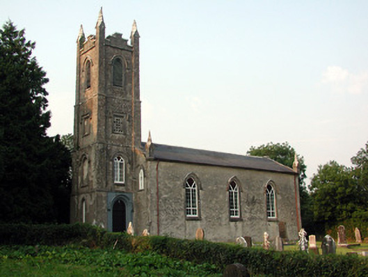 Saint Anne's Church (Annaduff)church/chapel · 1.3 mi
 Church (in Ruins)Church · 1.4 mi
 Tom Dunphy MemorialMemorial · 1.4 mi
 Declaration of IndependenceMemorial · 2.0 mi
 Wildlife AreaNature reserve · 2.0 mi
 Site of Dangan CastleCastle, unclassified · 3.8 mi
 Turlough O'Carolan MonumentHeritage attraction · 3.8 mi
 InishmoylinIslet · 4.1 mi
 Coarse IslandForest · 4.3 mi
 Dockery's IslandIslet · 4.4 mi