What is recorded here
Crannog is a water island, often built with timber and soil, where people lived above the lake or bog. The name appears in Loughorne, County Down, though the point and details are thin. It may have been a home, a refuge or a marker, placed where water and land touched. The absence of detail does not remove the crannog; it withholds the shape of the life that used it.
The official Northern Ireland record identifies this as CRANNOG?. Recorded period: E.CHRIST.. The official map point was placed at the centre of the recorded archaeological site from the source map reference.
The monument record does not grant public access. Check the route and ask the landowner before entering private land.
- What survives
- Recorded monument
Places near here
 Former National SchoolHall · 1.0 mi
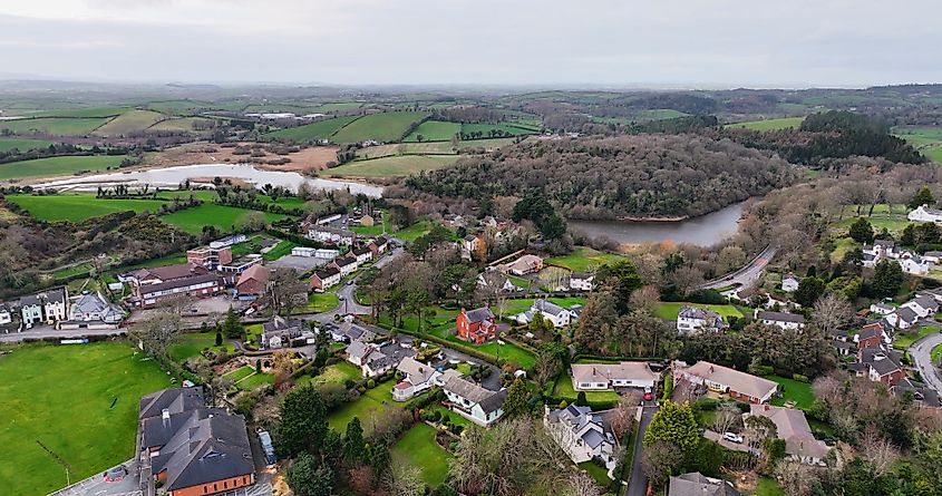 ENCLOSURE? in CarnacallyENCLOSURE? · 1.1 mi
 ENCLOSURE in AughintoberENCLOSURE · 1.6 mi
 OuleyMountain / peak · 2.2 mi
 Ryans Presbyterian ChurchChurch · 2.3 mi
 Canal WoodWood · 3.3 mi
 Knockiveagh Picnic SitePicnic place · 4.3 mi
 KnockiveaghMountain / peak · 4.6 mi
 CASTLE in LoughadianCASTLE · 4.8 mi
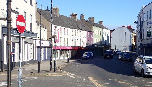 New Street Car ParkVisitor information · 4.8 mi
 POST-MEDIEVAL CHURCH & GRAVEYARD: ST. PATRICK'S in NewryPOST-MEDIEVAL CHURCH & GRAVEYARD: ST. PATRICK'S · 4.9 mi
 Newry CenotaphMemorial · 5.0 mi