What is recorded here
Crannog in Lough Macnean Upper is a shallow-water stone circle, fifteen metres across and one metre tall, floating eighty metres from the Cavan shore. It is a flat-topped cairn of small and medium stones, visible from the land but absent from every official map. The water may have risen or the stones may have settled, yet the circle remains distinct enough to see and measure. A crannog is a made place, not a natural one, and this one still holds its shape in the lough.
Not marked on any edition of the OS 6-edition map. Situated in shallow water in Lough Macnean, c. 80m from the shoreline from where it is clearly visible. Flat-topped circular cairn of small and medium-sized stones (diam. c. 15m) rising c. 1m above the current water-level.
The above description is derived from the published 'Archaeological Inventory of County Cavan' (Dublin: Stationery Office, 1995).
Date of upload/revision: 22 December 2008
The monument record does not grant public access. Check the route and ask the landowner before entering private land.
- What survives
- Recorded monument
Places near here
 Bullans stoneBullaun stone · 507 yd
 Enclosure in Termon (tullyhaw By.)Enclosure · 538 yd
 Church (in ruins)Church · 578 yd
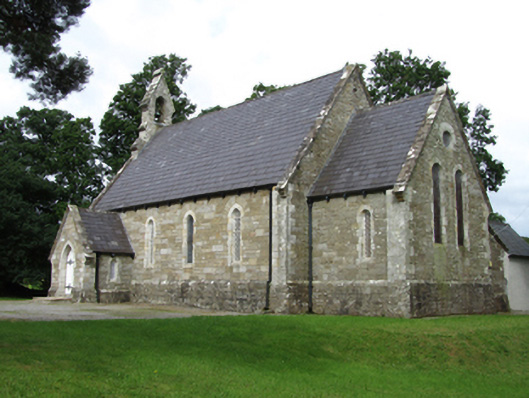 Killinagh Churchchurch/chapel · 736 yd
 Kilrooscagh IslandIslet · 1423 yd
 Tuam IslandIslet · 1.2 mi
 Teampull RuisínHeritage attraction · 1.3 mi
 Saint Patrick's Holy WellSpring · 1.3 mi
 Giant's GraveArchaeological place · 1.6 mi
 Legnaveagh SinkholeCave · 1.7 mi
 CullentraghMountain / peak · 1.7 mi
 BurrenMountain / peak · 1.7 mi