What is recorded here
In a wet meadow which was formerly a lake. Views are restricted due to the surrounding drumlins; the summit of Kesh Corann, however, is visible to the S. A circular low-mound crannog (23.5m N-S; 22m E-W; H 1.3m), the surface of which consists of soil mixed with stones firmly set in the ground. The N half of the mound (10m N-S; 22m E-W; H 0.7m) is raised slightly above the less stony S half (H c. 0.3m). The perimeter of the crannog is distinct in form and material. It is overgrown with grass and flowers.
The above description is derived from the published 'Archaeological Inventory of County Sligo' compiled by Ursula Egan, Elizabeth Byrne, Mary Sleeman with Sheila Ronan and Connie Murphy (Dublin Stationery Office, 2005).
Date of upload: 18 January 2008
The monument record does not grant public access. Check the route and ask the landowner before entering private land.
- What survives
- Recorded monument
Places near here
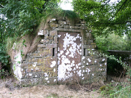 mausoleummausoleum · 662 yd
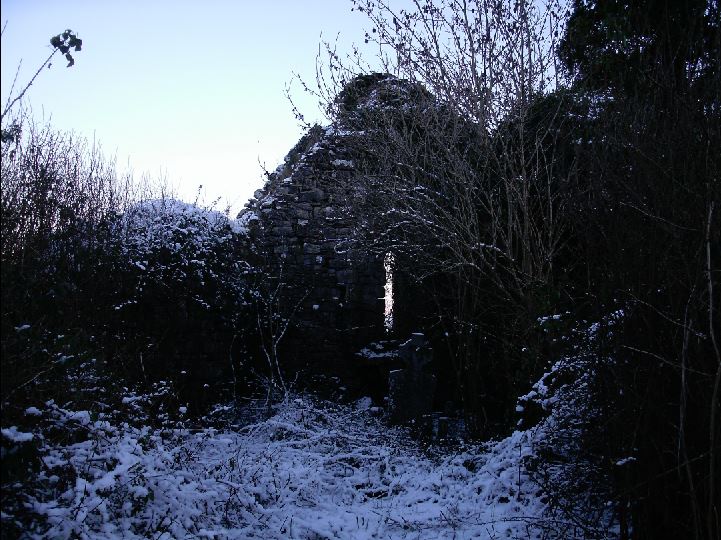 Church (in Ruins)Church · 690 yd
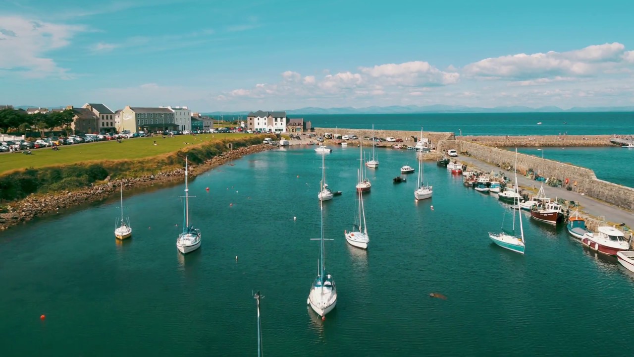 TobermorganHoly well · 842 yd
 CaveMan-made underground passage · 1052 yd
 Behy Castle (in Ruins)Castle, tower house · 1.8 mi
 School CaveCave · 2.1 mi
 Bricklieve Castle (in Ruins)Castle, unclassified · 2.3 mi
 Kesh CorannMountain / peak · 2.5 mi
 James MorrisonMemorial · 2.6 mi
 Caves of KeshCave · 2.7 mi
 Riverstown Folk ParkHeritage attraction · 2.8 mi
 Brother WalfridMemorial · 3.1 mi