What is recorded here
Crannog in Dysart,knockanally is a submerged island of hazel, stone and timber at the meeting of two rivers in County Kildare. When the Blackwater and its small tributary were drained in 1973, the exposed mud yielded human bones, an antler tine and iron slag, suggesting that people once lived beside or above the water before the land was taken for pasture. The rivers still cut through the remains, carrying away whatever memory the soil tried to keep.
In a partially wooded area in open, improved pasture, at the confluence of a small NE-flowing stream with the NW-flowing River Blackwater. Described by O'Neill (1973-4, 250) as a crannog (dims. L c. 100m N-S; Wth c. 80m E-W) composed of hazel brush, stone and worked timbers, divided by the river and stream, both of which were drained in 1973, when the dredged material was deposited on portion of the site (dims. L c. 60m; Wth c. 15m; H c. 2m). This spoil contained human and animal bones, a perforated antler tine, iron slag and some timbers, all of which were collected and deposited in the National Museum of Ireland. The main drainage embankment is along the E side of the Blackwater and the river flows through a deep, narrow, V-shaped cut with nothing archaeological visible along the banks. A possible trackway (KD004-014001-) approaches the site from the W.
Compiled by: Gearóid Conroy
Date of upload: 10 June 2011
The monument record does not grant public access. Check the route and ask the landowner before entering private land.
- What survives
- Recorded monument
Places near here
 IndicatedFairy fort / earthen ringfort · 592 yd
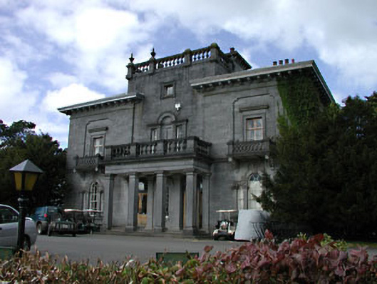 Knockanally Housecountry house · 756 yd
 water pumpwater pump · 1641 yd
 Enclosure in DysartEnclosure · 1654 yd
 MoatCastle, motte · 1735 yd
 Site of Dunfierth CastleCastle, unclassified · 1.6 mi
 Cloncurry GraveyardHeritage attraction · 2.1 mi
 The Grill ShackHeritage attraction · 2.2 mi
 Old Bog Road made famous by Teresa Bryton 1868-1943Memorial · 2.8 mi
 9/11 MemorialMemorial · 3.4 mi
 European ashEuropean ash · 3.5 mi
 Loughtown CovertWood · 4.8 mi