What is recorded here
CRANNOG? is an archaeological site in Cosbystown, County Fermanagh, recorded for the E.CHRIST. period. The name resists explanation, but the place remains marked at the centre of its own boundary. Whatever crannog hides beneath the town now, it once stood separate in water, building a life around a small circle of earth.
The official Northern Ireland record identifies this as CRANNOG?. Recorded period: E.CHRIST.. The official map point was placed at the centre of the recorded archaeological site from the source map reference.
The monument record does not grant public access. Check the route and ask the landowner before entering private land.
- What survives
- Recorded monument
Places near here
 HOLY WELL in Drumcrow EastHOLY WELL · 805 yd
 ENCLOSURE in Drumcrow EastENCLOSURE · 1315 yd
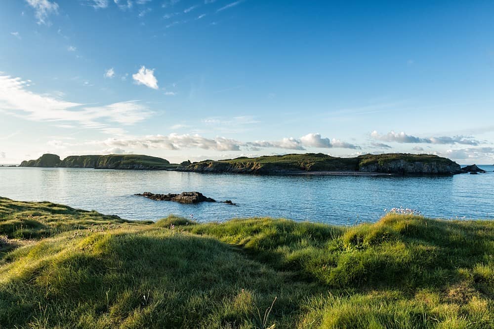 Rabbit IslandIsland · 1585 yd
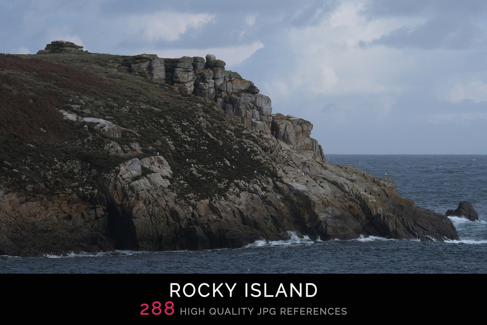 Rocky IslandIslet · 1622 yd
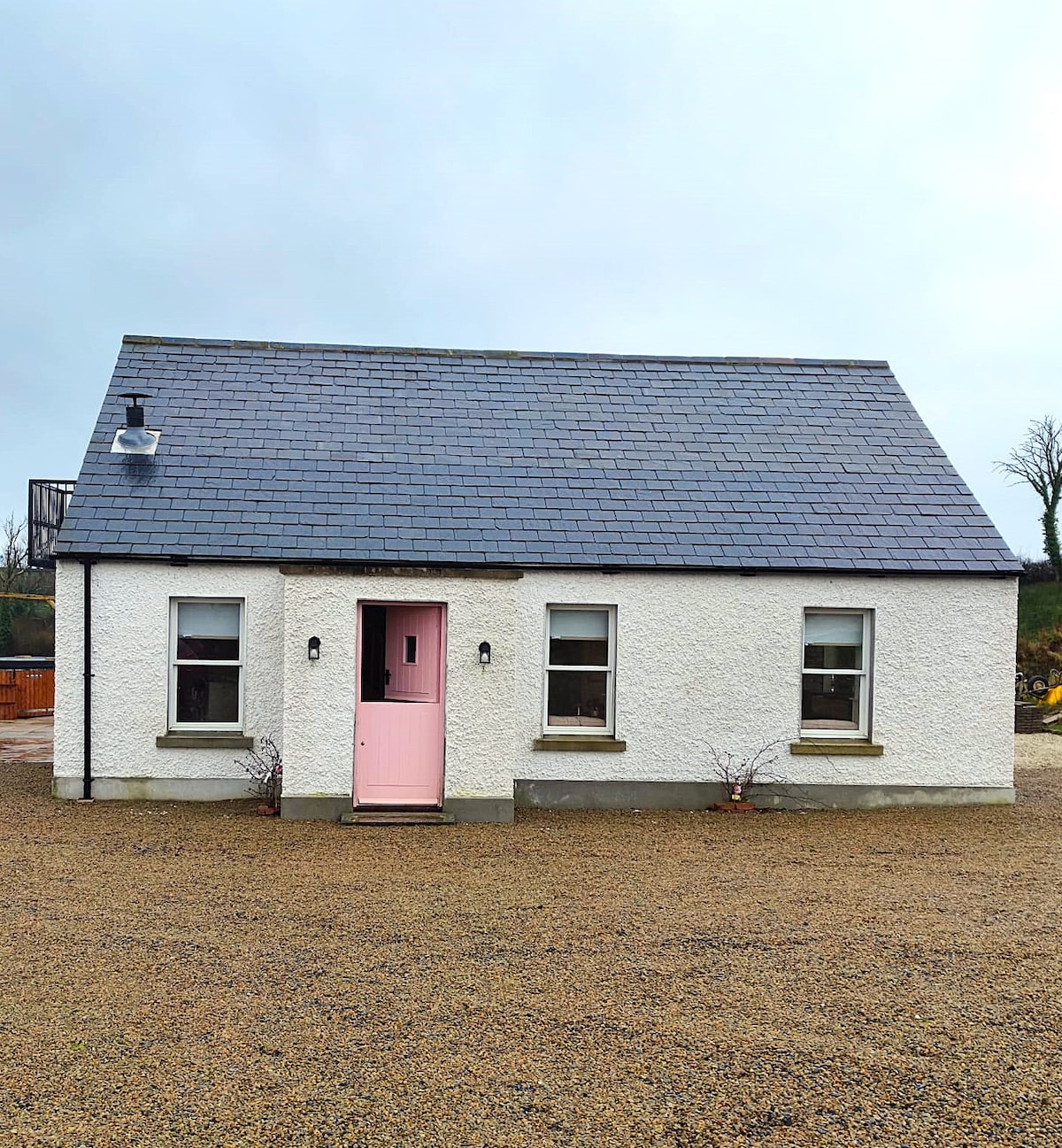 C17TH HOUSE & BAWN (unlocated) in CosbystownC17TH HOUSE & BAWN (unlocated) · 1.1 mi
 Inishmacsaint Church and Cross in InishmacsaintInishmacsaint Church and Cross · 1.6 mi
 Innishmacsaint Abbey (ruins)Ruins · 1.6 mi
 Tully CastleCastle · 1.6 mi
 Tullycarbry ForestForest · 2.7 mi
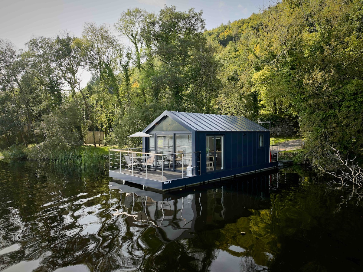 Carrickreagh WoodWood · 2.9 mi
 Monea CastleHeritage attraction · 3.5 mi
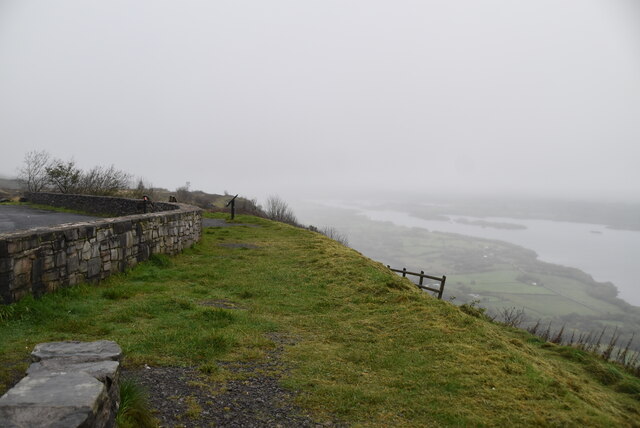 Cliffs of MaghoViewpoint · 5.3 mi