What is recorded here
Crannog in Cordressogagh sits forty metres from the SE shore of Moneen Lough, a twelve-to-fifteen-metre island still visible in aerial images and marked on maps from 1835 to the present. It is a crannog, a built island, likely made by people stacking earth and stone above the water to keep out rain, rot and unwanted visitors. The lough is narrow and long, with a deep bay on the far shore, the kind of place where a small home could hide in plain sight. Nobody has walked it recently, but the shape remains, waiting to be touched.
Located c. 40m from the SE shore of the rectangular Moneen Lough (dims c. 430m NE-SW; c. 95-115m NW-S) that has a large bay (dims c. 225m NE-SW; c. 100m NW-SE) on the opposite NW shore. An island is depicted on the 1835 and 1908 editions of the OS 6-inch map, and on the current 1:5000 map where it is shown as a large feature (diam. c. 12-15m). It is also visible as a tree-covered feature on the aerial images, and it was first reported by Anne-Karoline Distel but has not yet been visited.
Compiled by: Michael Moore
Date of upload: 29 November 2022
The monument record does not grant public access. Check the route and ask the landowner before entering private land.
- What survives
- Recorded monument
Places near here
 Corrard ForestForest · 680 yd
 Sweat Ho.Sweathouse · 751 yd
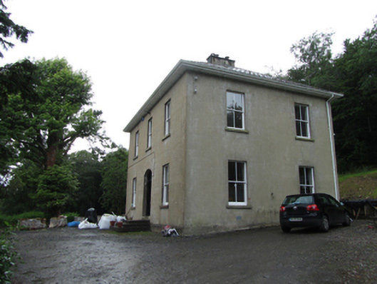 Manor Houserectory/glebe/vicarage/curate's house · 880 yd
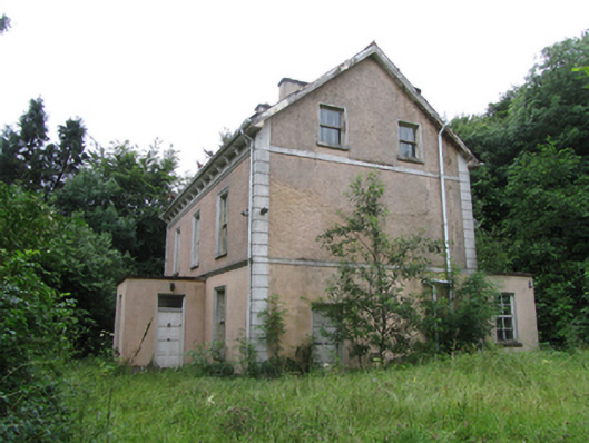 Corrard Househouse · 891 yd
 TobermurvyHoly well · 1124 yd
 TobermurrySpring · 1129 yd
 CarrickbrannanMountain / peak · 1431 yd
 ArdlougherMountain / peak · 1.1 mi
 Republican Garden of RemembranceMemorial · 1.3 mi
 PlaygroudCliff · 3.3 mi
 Fahy RockIslet · 3.8 mi
 CarrignahastaCliff · 3.9 mi