What is recorded here
Belhavel Lough still hides a twenty-metre circular island barely forty centimetres above the water, yet no human hand is visible in its making. The lake gave up a sandstone disc-quern near its shore, now resting in a nearby farmhouse, suggesting that people once stood where the reeds now swallow the ground. Crannog in Annagh refuses easy belief because nature and memory have tangled into one smooth green disc.
Situated about 100m from the W and N shores of Belhavel Lough (dims c. 2km E-W; c. 300-700m N-S) which is called Cleane Lough on the Down Survey (1655-6) county and barony maps. This is an overgrown circular island (diam. 20m; max. H over water 0.4m) with no visible evidence of artificial construction. A sandstone disc-quern (diam. 0.6m) was recovered from the lake shore close to the monument and is now at a nearby farmhouse.
See the attached aerial view taken from the S.
The above description is derived from 'The Archaeological Inventory of County Leitrim' compiled by Michael J. Moore (Dublin: Stationery Office, 2003). In certain instances the entries have been revised and updated in the light of recent research.
Date of upload: 23 September 2008
The monument record does not grant public access. Check the route and ask the landowner before entering private land.
- What survives
- Recorded monument
Places near here
 Enclosure in BelhavelEnclosure · 313 yd
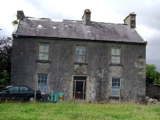 Drumkeel Housefarm house · 1081 yd
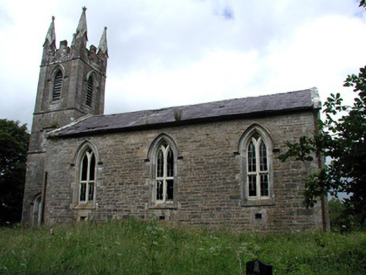 Killarga Churchchurch/chapel · 1584 yd
 Cross in KillargaCross · 1.0 mi
 Green IslandIslet · 3.6 mi
 Old HallCastle, hall-house · 4.2 mi
 The Giants GraveArchaeological place · 4.9 mi
 Drummans IslandIslet · 5.6 mi
 Doonbran Isd.Bawn · 5.7 mi
 Ballaghnabehy TopMountain / peak · 5.9 mi
 European ashEuropean ash · 6.4 mi
 Black PoplarBlack Poplar · 6.4 mi