What is recorded here
Cashlan Field in Ballymacdermot may hold a lost court tomb, its stones forgotten or never marked. The field itself remains visible, a green rectangle in County Armagh where prehistoric hands could have shaped death into geometry. The question mark in its name admits the doubt: perhaps nothing survives, perhaps everything is buried under grass and time.
The official Northern Ireland record identifies this as COURT TOMB?: CASHLAN FIELD (unlocated). Recorded period: PREHISTORIC. The official map point was placed at the centre of the recorded archaeological site from the source map reference.
Court tomb, dating to the Neolithic period (c. 4000–2500 BCE). These tombs are significant as early communal burial sites, reflecting social organisation and ritual practices in prehistoric Ireland.
The monument record does not grant public access. Check the route and ask the landowner before entering private land.
- What survives
- Recorded monument
Places near here
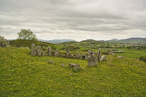 Ballymacdermott Court TombArchaeological place · 217 yd
 COURT TOMB in BallymacdermotCOURT TOMB · 218 yd
 Ballymacdermot MountainMountain / peak · 504 yd
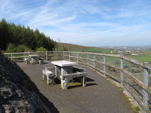 Bernish ViewpointViewpoint · 748 yd
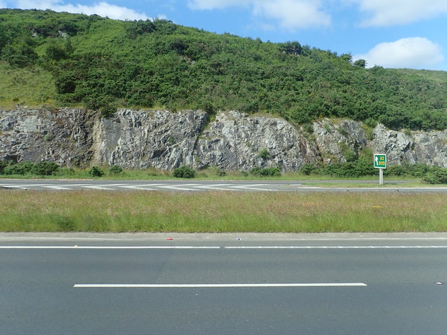 Cloghoge MountainMountain / peak · 1.1 mi
 Drumalane MillFactory · 1.6 mi
 Carlingford LoughVisitor information · 1.7 mi
 St. Catherine’s PrioryReligious House · 1.7 mi
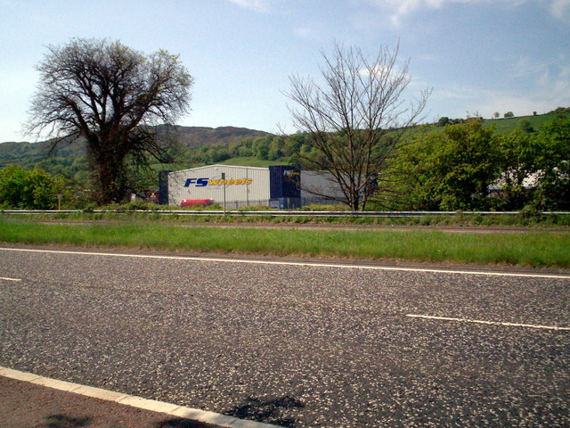 Greenbank TrailWalking route · 1.8 mi
 EARLY CHRISTIAN & MEDIEVAL CHURCHES, GRAVEYARD, AUGUSTINIAN NUNNERY & ROUND TOWER: KILLEVY CHURCHES in BallintempleEARLY CHRISTIAN & MEDIEVAL CHURCHES, GRAVEYARD, AUGUSTINIAN NUNNERY & ROUND TOWER: KILLEVY CHURCHES · 1.9 mi
 Bagenal's CastleCastle · 2.0 mi
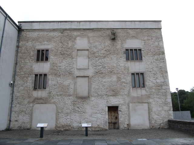 TOWER-HOUSE: BAGENAL'S CASTLE in NewryTOWER-HOUSE: BAGENAL'S CASTLE · 2.0 mi