
What is recorded here
Coursley Brake is shown as a wood on the public map of Somerset. The saved point is the map point or the centre of its mapped shape.
This does not grant access. Check current paths, opening conditions and ownership before entering.
Places near here
 Coursley FarmhouseListed building · 636 yd
 Coursley CottageListed building · 662 yd
 Dean's CrossVisitor information · 1.0 mi
 Tower Farms, Dean CrossCastle, fort or tower · 1.1 mi
 Combe WoodWood · 1.1 mi
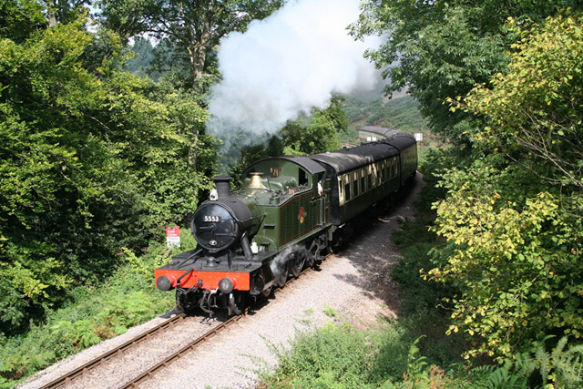 Crowcombe: West Somerset Railway at Stones WoodForest or wood · 1.2 mi
 Stoney CrossVisitor information · 1.4 mi
 Churchyard cross immediately south of Holy Ghost ChurchScheduled monument · 2.0 mi
 Crowcombe village cross 170m north west of Holy Ghost ChurchScheduled monument · 2.0 mi
 Wills NeckMountain / peak · 2.0 mi
 Marrow HillMountain / peak · 2.1 mi
 Gauge Museum Bishops LydeardMuseum · 3.3 mi
Other information
Photo: Richard Webb · CC BY-SA 2.0