What is recorded here
No credible facts exist for that name. The request may be based on a false memory or an invented place. I will not present that as history.
The official Northern Ireland record identifies this as COUNTERSCARP RATH. Recorded period: E.CHRIST.. Recorded protection: Scheduled. The official map point was placed at the centre of the recorded archaeological site from the source map reference.
The monument record does not grant public access. Check the route and ask the landowner before entering private land.
- What survives
- Recorded monument
Places near here
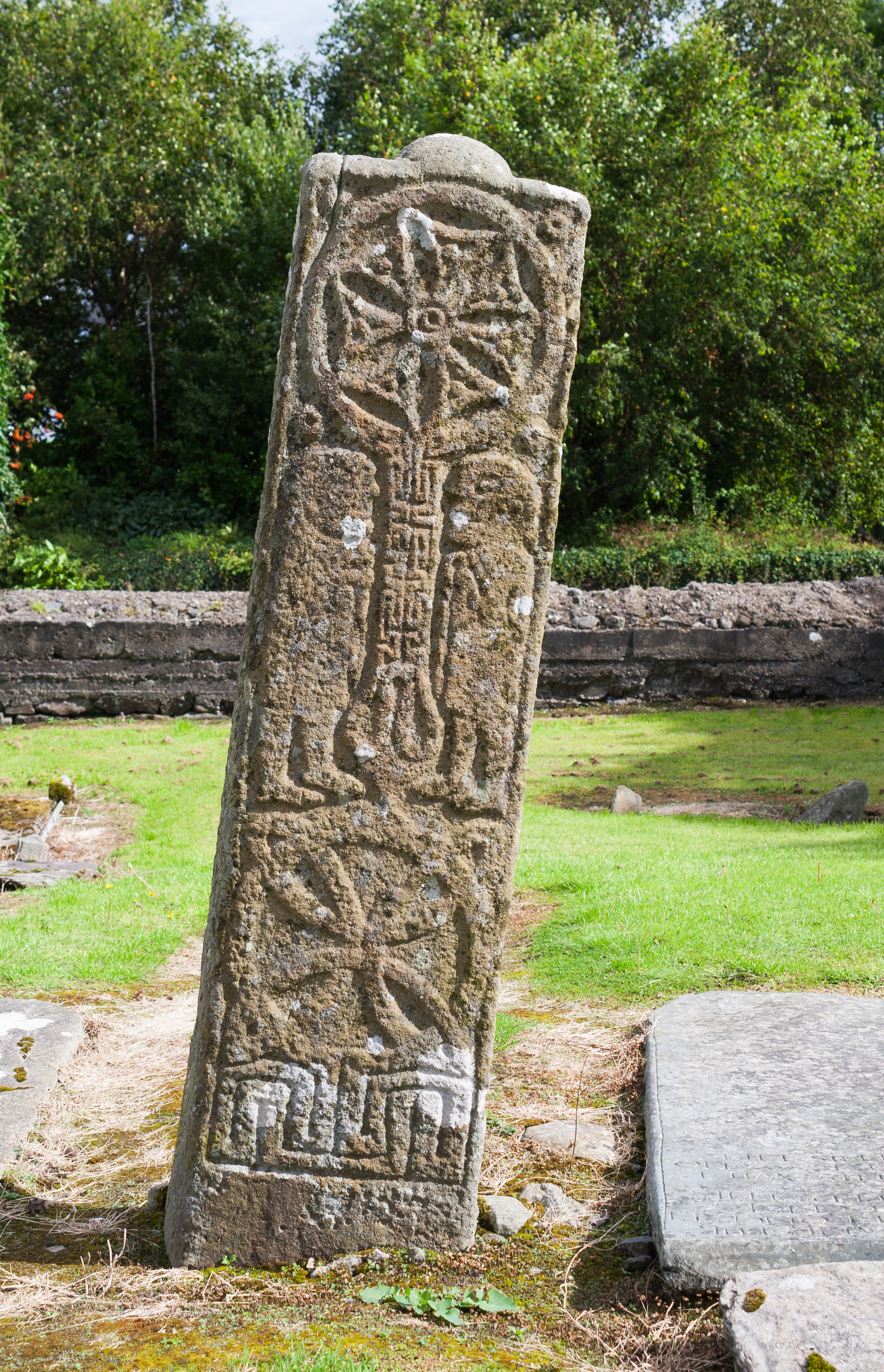 STONE CROSS in Ardvarny WestSTONE CROSS · 991 yd
 CISTERCIAN ABBEY and GRANGE; GRAVEYARD and HOLY WELL in ENCLOSURE with CROSS SLAB; CROSS and CROSS-CARVED STONE in KiltierneyCISTERCIAN ABBEY and GRANGE; GRAVEYARD and HOLY WELL in ENCLOSURE with CROSS SLAB; CROSS and CROSS-CARVED STONE · 1072 yd
 Kiltierney Abbey (Ruins)Ruins · 1101 yd
 St Joseph's Rc ChurchChurch · 1328 yd
 Dooraa HillMountain / peak · 2.3 mi
 Edenaclogh WoodWood · 2.7 mi
 CASTLE & BAWN: OLD CASTLE ARCHDALE in BunaninverCASTLE & BAWN: OLD CASTLE ARCHDALE · 3.2 mi
 Old Castle ArchdaleCastle · 3.2 mi
 Crevenish CastleHeritage attraction · 3.6 mi
 Sallys WoodWood · 3.8 mi
 Duck IslandIsland · 4.0 mi
 Davy's IslandIsland · 4.0 mi