What is recorded here
The Corbenic Poetry Path meanders through a variety of terrains including open hillside, moorland, ancient native woodlands, hazel coppice, and riverbanks. The path has been designed with a variety of surfaces to be as sensitive as possible to the environ
A mapped walking route does not guarantee present access or safe conditions. Check signs, closures and the weather before setting out.
- Distance
- 3.5 km
Places near here
 Drumour BridgeRoad Bridge (period Unassigned) · 422 yd
 Wester DrumourTownship (post Medieval) · 956 yd
 BallinloanCup Marked Stone (prehistoric) · 1153 yd
 Trochry HillCairn (early Prehistoric), Cairnfield (prehistoric) · 1.2 mi
 Falls of the BraanWaterfall · 1.8 mi
 Torchuaig HillMountain / peak · 2.0 mi
 Dunkeld, the Hermitage, Ossian's CaveFolly (18th Century) · 2.4 mi
 Pine Cone PointViewpoint · 2.5 mi
 Falls of BraanWaterfall · 2.6 mi
 Ossian's HallVisitor information · 2.6 mi
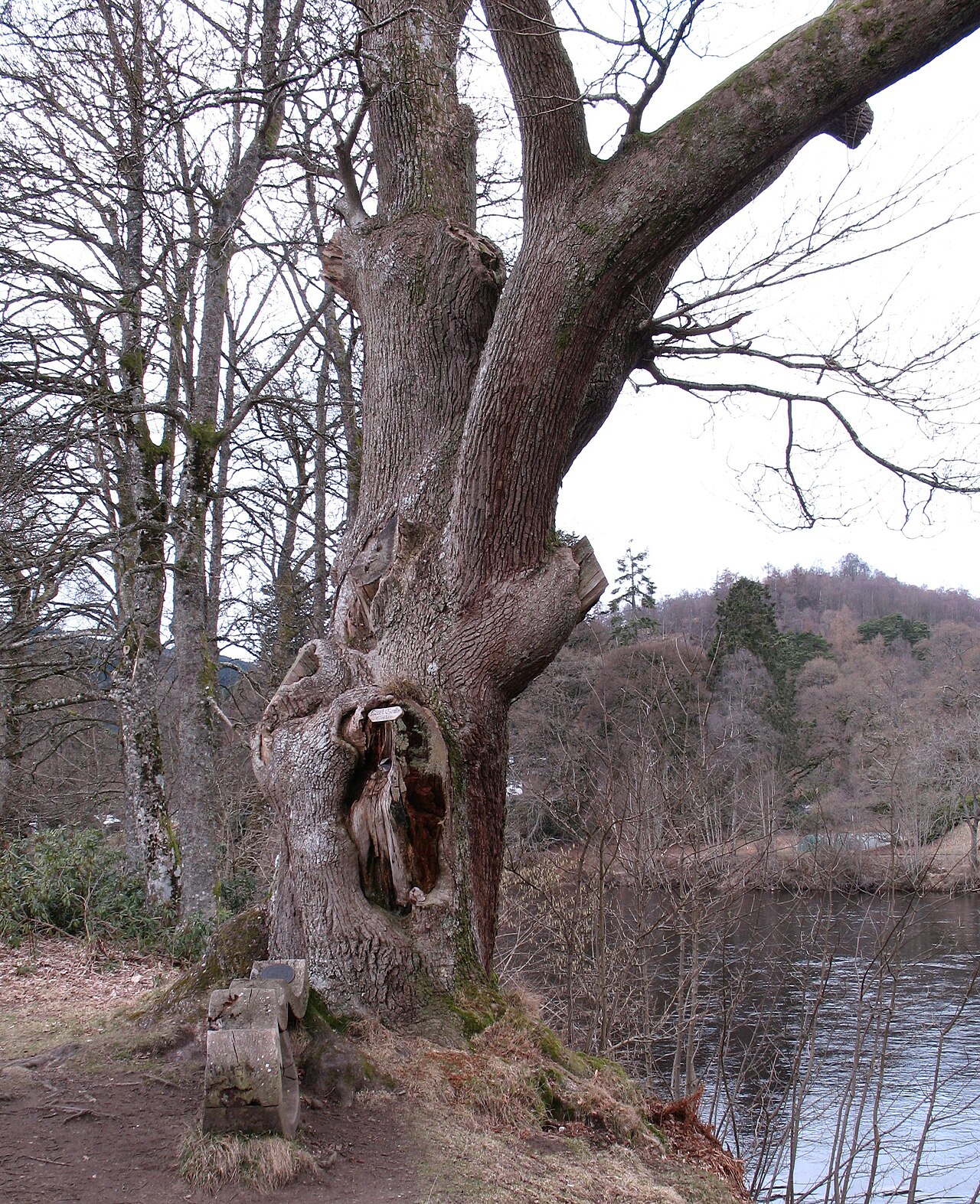 Niel Gow's OakOak · 3.1 mi
 Ben SalachillMountain / peak · 3.1 mi