What is recorded here
SCRABO is a contour fort hiding in plain sight on the County Down landscape. Its uncertain age and proposed protection suggest people shaped that ridge long before modern boundaries existed. The earth may still hold the pressure of hands that built it, waiting for someone to walk the ridge and remember what the stone forgot.
The official Northern Ireland record identifies this as CONTOUR FORT/EARTHWORK: SCRABO. Recorded period: UNCERTAIN. Recorded protection: Proposed for Scheduling. The official map point was placed at the centre of the recorded archaeological site from the source map reference.
The monument record does not grant public access. Check the route and ask the landowner before entering private land.
- What survives
- Recorded monument
Places near here
 Tower in ScraboTower · 273 yd
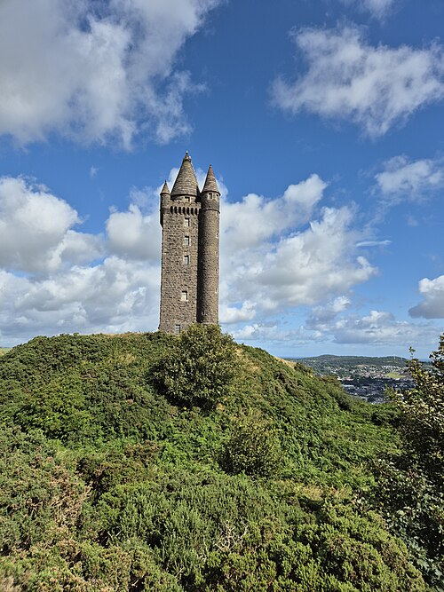 Scrabo TowerHeritage attraction · 283 yd
 Scrabo HillMountain / peak · 289 yd
 Scrabo Railway BridgeRuins · 525 yd
 ENCLOSURE in BallyaltonENCLOSURE · 643 yd
 Alexandra HouseHouse · 1079 yd
 Kiltonga Nature ReserveNature reserve · 1.1 mi
 CASTLE in Commons (newtownards)CASTLE · 1.2 mi
 PLANTATION HOUSE & BAWN: CASTLE GARDENS in NewtownardsPLANTATION HOUSE & BAWN: CASTLE GARDENS · 1.2 mi
 Rough IslandIslet · 2.7 mi
 CairngaverMountain / peak · 2.7 mi
 Somme Heritage CentreMuseum · 2.7 mi