
What is recorded here
Situated in gently undulating countryside, ring-ditch (LA026-024----) 100m to E. Cropmark of a concentric enclosure consisting of a circular-shaped area (approx. int. diam. 35m) defined by a ditch with outer enclosing element (approx. diam. 72m) defined by a ditch intersected at N by present field boundary visible on oblique aerial photographs (CUCAP BDH056/058) taken 14/07/1970. Possible entrance gap visible at NNW, gap between enclosing ditches measures approx. 21m No visible surface remains.
See attached image of Google Earth photograph taken 14/07/2018
The above description is derived from the published 'Archaeological Inventory of County Laois' (Dublin Stationery Office, 1995) compiled by P. David Sweetman, Olive Alcock and Bernie Moran. In certain instances the entries have been revised and updated in the light of recent research.
Revised by: Caimin O'Brien
Date of revised upload: 30 December 2019
The monument record does not grant public access. Check the route and ask the landowner before entering private land.
- What survives
- Recorded monument
Places near here
 Enclosure in Grange (ballyadams By.)Enclosure · 220 yd
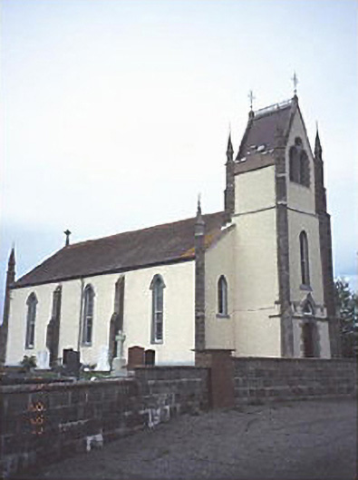 Saint Abban's Catholic Churchchurch/chapel · 1168 yd
 Castle in ruinsCastle, unclassified · 1170 yd
 Enclosure in KillabbanEnclosure · 1250 yd
 Maganey Bridgebridge · 1368 yd
 Castle (in ruins)Castle, tower house · 1.7 mi
 Pedunculate OakPedunculate Oak · 2.0 mi
 Oak Park Forest ParkWood · 3.3 mi
 Lorcán Ó TuathailMemorial · 3.7 mi
 Killeshin ChurchVisitor information · 4.4 mi
 ProclamationMemorial · 4.5 mi
 VISUAL Centre for Contemporary ArtGallery · 4.6 mi
Other information
Photo: Credit not shown in the picture search · Rights wording not checked; contact us if this picture should be removed