What is recorded here
This blue commemorative plaque records: Christ Church, South Street. Behind this wall stood Christ Church, the chapel of ease to St. Bartholomew’s. Opened in 1854 to serve the town’s increased population, it was demolished in 1975 and Christ Church Court now stands on the site. Recorded plaque organisation: Crewkerne Civic Society.
Christ Church served the growing population of Oxford from its opening in 1854 until its demolition in 1975, reflecting the urban development and changing religious landscape of Victorian and modern Oxford.
A plaque record does not grant entry to a building or private land. View it from a public place unless permission is clearly given.
Places near here
 20, South StreetListed building · 67 yd
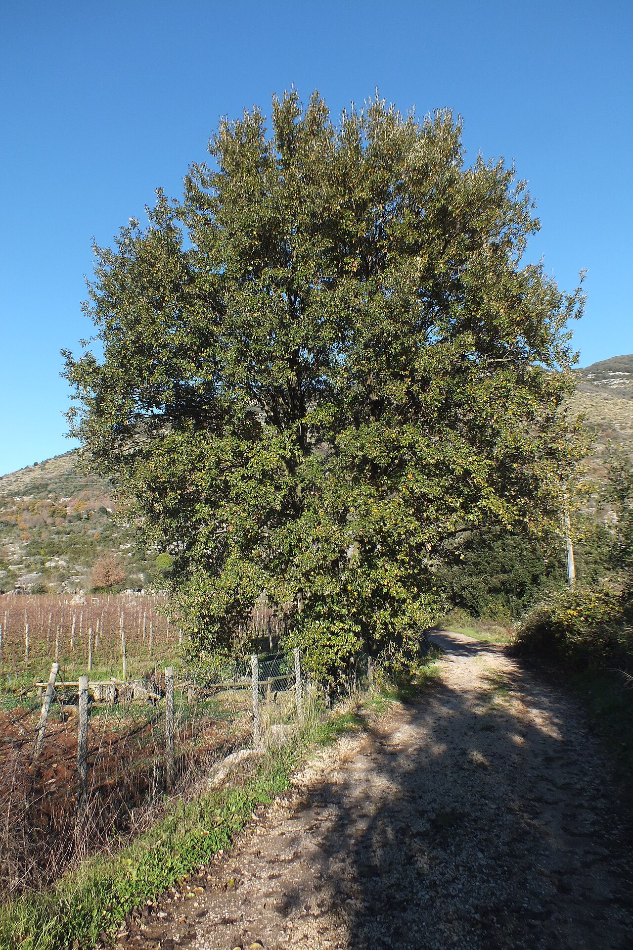 The Crewkerne Lucombe OakLucombe Oak · 166 yd
 George HotelListed building · 302 yd
.jpg?width=1280) Crewkerne MuseumMuseum · 311 yd
Crewkerne MuseumMuseum · 311 yd The memorial, Severals ParkHeritage place · 506 yd
 Small cave near CrewkerneCave or cavern · 1243 yd
 Old Milestone by the A3066/A356, Turnpike Cross, east of MistertonMonument or public art · 1.5 mi
 Rushy WoodWood · 1.8 mi
 Milestone, Haselbury PlucknettMonument or public art · 2.0 mi
 Barrows Hill GarageMountain or hill · 3.2 mi
 Roadside waterfall, Wayford WoodsWaterfall · 3.3 mi
 Balham HillMountain or hill · 3.3 mi