
What is recorded here
Coleridge Cottage is shown as a heritage attraction on the public map of Somerset. The saved point is the map point or the centre of its mapped shape.
- Operator
- National Trust
- Location
- OpenStreetMap point or centre of the mapped shape
Other information
Photo: Rod Allday · CC BY-SA 2.0
The public map does not by itself grant access. Check current paths, opening conditions and ownership before entering.
Places near here
 Clock TowerListed building · 179 yd
 War MemorialMemorial · 188 yd
 Rose and CrownListed building · 201 yd
 Stowey CastleCastle · 547 yd
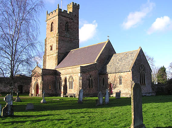 St. Mary's parish church, Nether StoweyChurch, cross or graveyard · 597 yd
 Remains of Stowey CastleCastle, fort or tower · 680 yd
 O.S. Triangulation Point at Pinnacle HillMountain or hill · 1180 yd
 Houses opposite the church, Over StoweyChurch, cross or graveyard · 1722 yd
 Walford's GibbetMemorial · 1.1 mi
 Bin CombeWood · 1.1 mi
 Fairfield WoodWood · 1.3 mi
 DowsboroughMountain / peak · 1.9 mi