What is recorded here
A very much ploughed-out feature not previously marked on the OS 6-inch maps. The site consists of a low, almost circular, earthen mound c. 4.2m in diameter surrounded by a largely filled-up fosse and an exter-nal, almost ploughed out earthen bank. The latter is only .16m high. The overall diameter is 9m. There is a 2.3m gap in the bank opposite a causeway across the fosse on the E side. The site is located on marshy ground in an area of generally good pasture on a low E-W ridge on the Glencolumkille valley floor.
The above description was derived from the 'Archaeological Survey of County Donegal. A description of the field antiquities of the County from the Mesolithic Period to the 17th century.' Compiled by: Brian Lacey with Eamon Cody, Claire Cotter, Judy Cuppage, Noel Dunne, Vincent Hurley, Celie O'Rahilly, Paul Walsh and Seán Ó Nualláin (Lifford: Donegal County Council, 1983). In certain instances the entries have been revised and updated.
Date of upload: 22 September 2008
Cointe Cró Ring-Barrow is a Bronze Age ring-barrow, a type of burial monument typically consisting of a circular earthen mound with a surrounding ditch. Its significance lies in its contribution to understanding local funerary practices and landscape use during the Bronze Age in the region.
The monument record does not grant public access. Check the route and ask the landowner before entering private land.
- What survives
- Recorded monument
Places near here
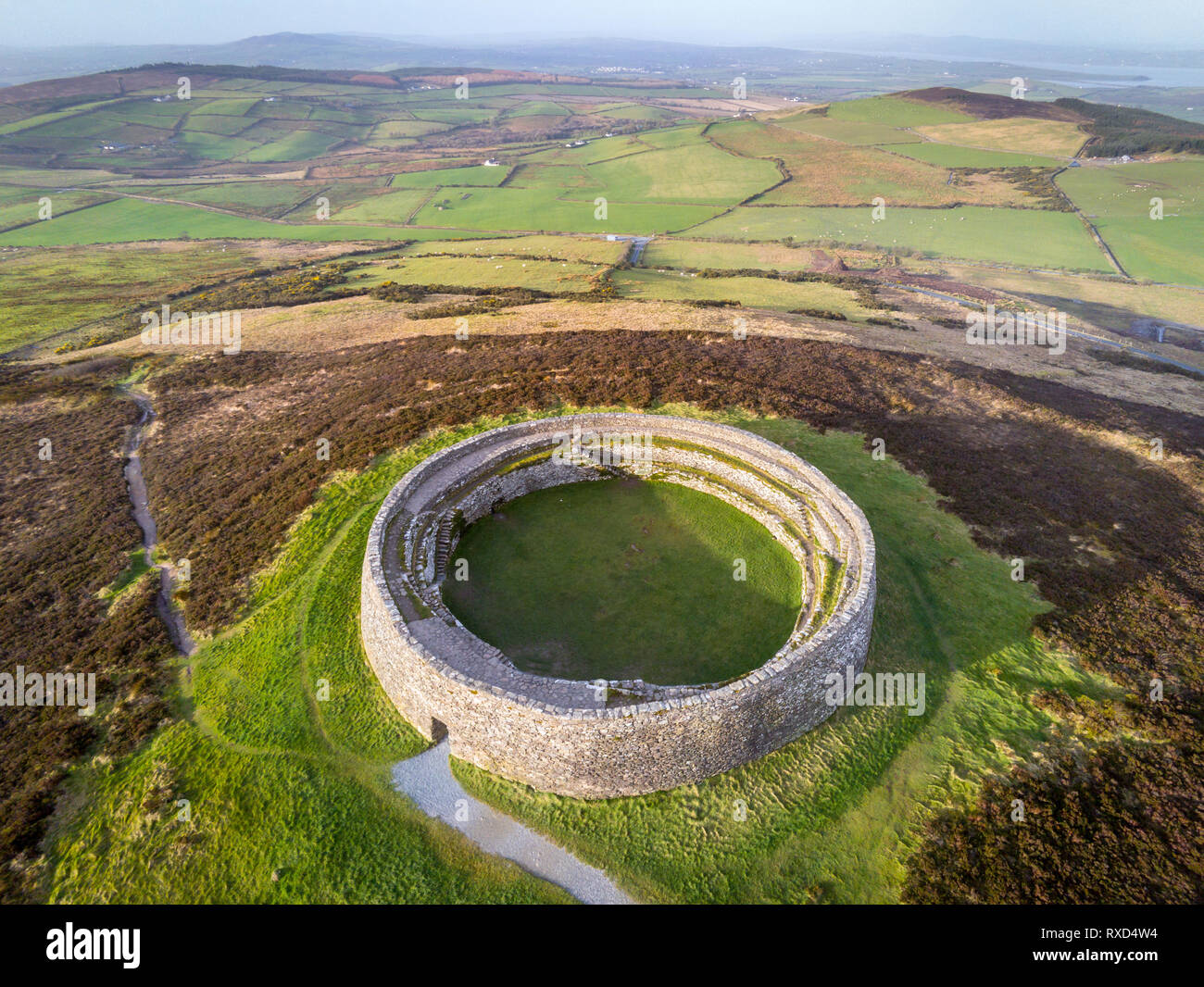 Cointe Cró Ploughed-Out Earthen RingfortFairy fort / earthen ringfort · 42 yd
 An Droim Rua Carved Cross-Slab PlaceEnclosure · 248 yd
 IndicatedChurch · 503 yd
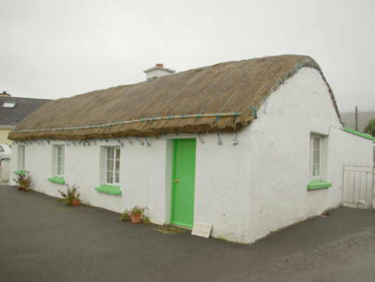 Teachín Tessiehouse · 532 yd
 Glencolmcille Old GraveyardGraveyard · 835 yd
 Trá an GhleannaBeach / strand · 1.0 mi
 Glencolmcille Folk VillageMuseum · 1.2 mi
 An Trá Bheag (Trá Bheag an Ghleanna)Beach / strand · 1.4 mi
 Rossan PointHeadland · 3.4 mi
 CroaghstraleelMountain / peak · 3.7 mi
 An Tor MórIslet · 3.8 mi
 Slieve LeagueMountain / peak · 4.0 mi