
What is recorded here
Coed yr Ysgol is shown as a wood on the public map of Conwy. The saved point is the map point or the centre of its mapped shape.
This does not grant access. Check current paths, opening conditions and ownership before entering.
Places near here
 St John's Church, Trofarth, AbergeleChurch · 646 yd
 Bryn Ebeneser Chapel (Welsh Calvinistic Methodist;Bryn Ebenezer), Glan ConwyChapel · 1665 yd
 Mynydd BranarMountain / peak · 1.1 mi
 Fron-GynnenMountain / peak · 1.3 mi
 Coed y BrainWood · 2.0 mi
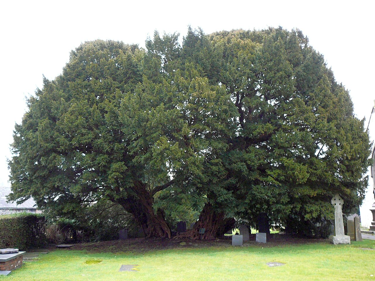 Langernyw YewEuropean Yew · 2.7 mi
 Two Cross-Incised Stones in Llangernyw ChurchyardCross Incised Stone · 2.7 mi
 Stone shelterStanding or carved stone · 3.3 mi
 Bodnant GardenHeritage attraction · 3.5 mi
 Memorial to TalhaiarnHeritage place · 4.5 mi
 CarreggroesIsland · 4.6 mi
 Mountain pastureMountain or hill · 4.7 mi
Other information
Photo: Terry Hughes · CC BY-SA 2.0