
What is recorded here
Detached U-plan four-bay two-storey house, built c. 1830, possibly incorporating earlier fabric, having full-height bow to east end of former front (south) elevation, and full-height box-bay window to south elevation, single- and two-storey additions to east elevation, and recent three-bay flat-roofed porch between wings to former rear (north) elevation, now forming principal entrance. Now in use as GAA clubhouse and crèche. Hipped artificial slate roofs, conical natural slate roof with clay finial to bow, stepped rendered chimneystacks with cornices and clay pots, proud chimneybreasts to north elevation of west wing and to east elevation of east wing, with concave rendered eaves course. Lined-and-ruled rendered walls with stringcourse and plain frieze. Square-headed window openings having one-over-one pane and two-over-two pane timber sliding sash windows and replacement windows, with granite sills. Tripartite arrangement to bay window with shared sill, some enlarged openings to west wing. Some round-headed window openings with multiple-pane timber sliding sash windows and granite sills to north and west elevations. Square-headed door opening to south elevation having moulded render reveals, square-headed sidelights with granite sills, and replacement windows and door. Porch to north having gablet, render pilasters, and recessed door opening. Set in own grounds with carparking to front. Square-plan rendered piers with recent vehicular gates and railings. Former gate lodge to west, in separate ownership.
The bowed projection adds interest to the south elevation, and would have created pleasant well-lit interiors with views over the extensive gardens. One of the earlier surviving houses in the vicinity, it adds to the architectural variety of the area as it predates the large-scale early twentieth-century developments that now surround it. This substantial house was built following the lease of lands to John Marsden from the Vernon Estate and by 1842 was the residence of Robert Simpson. The first Ordnance Survey map shows this house surrounded by extensive grounds, while the third edition shows a driveway leading from the former lodge to the west, to the south of the house, formerly the principal elevation. It may contain some eighteenth-century fabric as a house is depicted on the site on Rocque's map of 1760. Marsden's lease from Vernon in 1748 specified that £200 was to be spent on building in the first two years. By the late nineteenth century it was the residence of John Beggs, one of the Commissioners of Clontarf township.
This does not grant access. Most recorded buildings are privately owned; view them only from public ground unless the owner allows entry.
Places near here
 Battle of ClontarfMajor battlefield · 163 yd
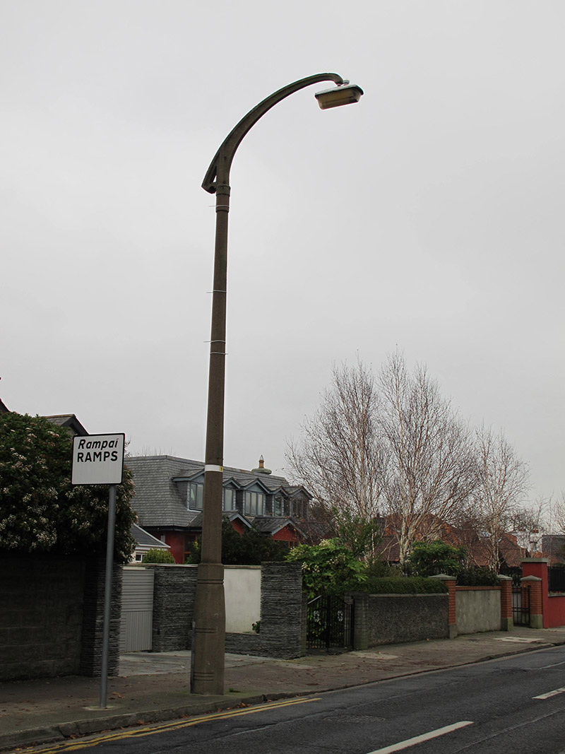 lamp standardlamp standard · 222 yd
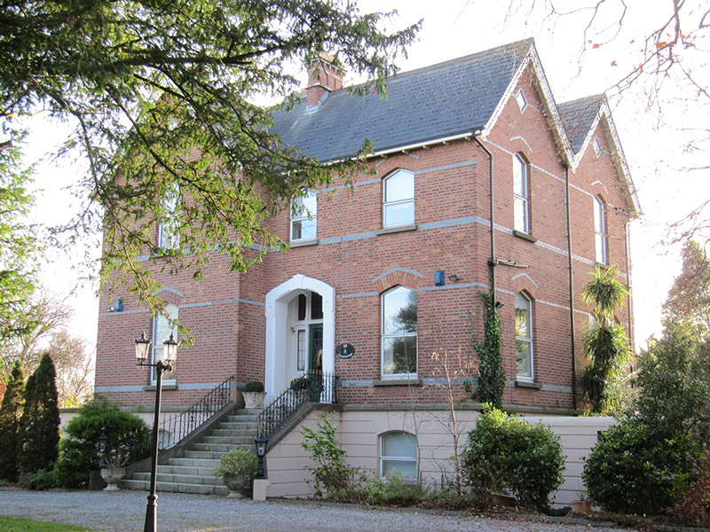 The Old Rectoryrectory/glebe/vicarage/curate's house · 233 yd
 Clontarf War MemorialMemorial · 292 yd
 Clontarf Castle HotelVisitor information · 543 yd
 Church (in ruins)Graveyard · 550 yd
 Pump and Site of Old Lead MineMine, lead · 833 yd
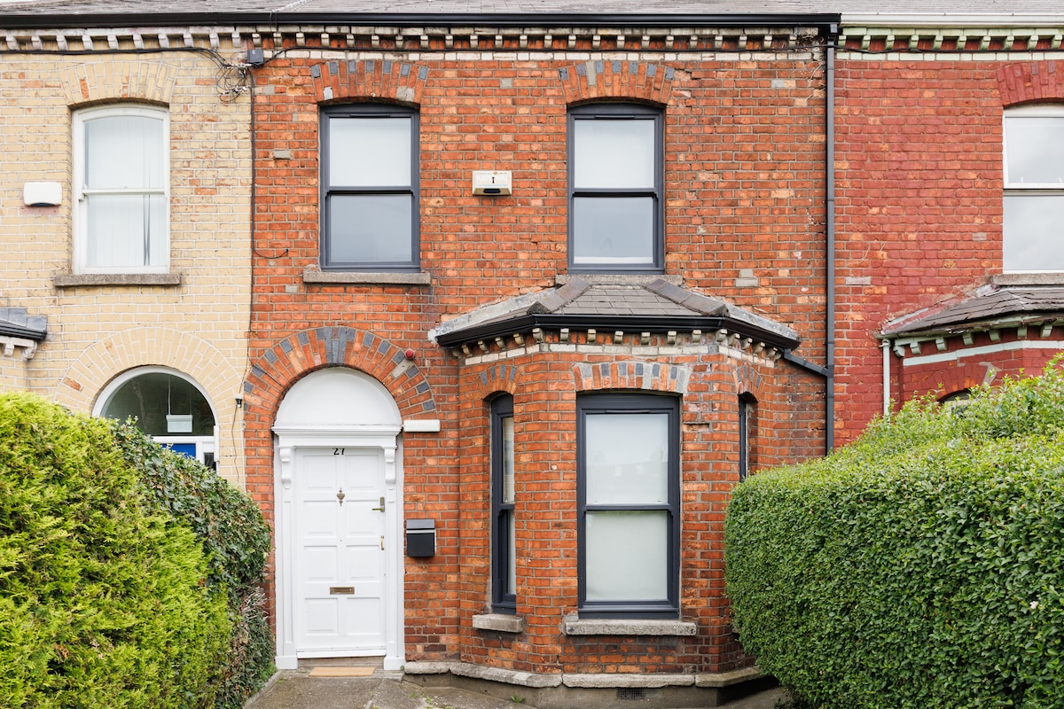 StudioGallery · 1381 yd
 Wych ElmWych Elm · 1394 yd
 Millennium ArboretumWood · 1545 yd
 Lightvessel KittiwakeMuseum · 1.4 mi
 Bull Island Nature ReserveVisitor information · 1.6 mi
Other information
Photo: National Inventory of Architectural Heritage · Website use allowed for educational or private purposes with source credit