What is recorded here
Clogherbeg Mote stands in County Limerick pasture as a large bowl-barrow, now levelled but still marked by a central igneous erratic and buried human remains. The mound once rose five metres high, holding cremated and uncremated bodies alongside prehistoric pottery, suggesting a place where people gathered to honour the dead. Its quiet disappearance beneath the soil does not erase the ritual life it sustained, nor the stone that may have anchored that memory.
In pasture, 10m S of road that forms townland boundary with Knocklong East. Annotated ‘Clogherbeg Moat’ on the 1840 ed. of the OSi 6-inch map, on which it is depicted as a small raised circular raised area intersected at W by a post-1700 field boundary running N-S. Shown on the 1897 ed OSi 25-inch as a small circular-shaped flat-topped mound (diam. c. 6m) standing in the centre of a narrow small field. Earthwork described by Westropp (1919, 10-11) as 'a little green tumulus, called Clogherbeg Mote'. The burial mound was described by Westropp (1916-19, 172) as ‘a perfect little green tumulus in parts 11 ft. [3.3m] high; the base about 100ft. [30m] across, quite featureless; the ground falls abruptly to a T-shaped valley, where two streamlets meet’.
An emergency excavation (Licence No. 96E0032) carried out in 1996 by Victor Buckley, recorded ‘that the site had been a large barrow, approx. 18m in diameter and 5m high. It had been levelled to the surrounding ground level. A large, 1.5m-square igneous erratic was still in place in the centre of where the mound had stood, suggesting that this stone may have had some ritual significance. No trace of an enclosing fosse was noted, but an area (3m sq.) of pyre debris, 0.2m deep, on the old ground surface was excavated. Some human remains, both cremated and uncremated, were retrieved. Analysis by Laureen Buckley revealed that the uncremated remains consisted of two adults, sex indeterminate; one adult and one juvenile were identified from the cremated remains. Several fragments of prehistoric pottery were also recovered.’ No surface remains visible of levelled barrow on Digital Globe orthoimage taken between 2011-13 or on Google Earth orthoimages.
See attached Google Earth orthoimages
Compiled by: Fiona Rooney
Date of upload: 13 July 2021
The monument record does not grant public access. Check the route and ask the landowner before entering private land.
- What survives
- Recorded monument
Places near here
 RoadRoad, road/trackway · 725 yd
 Hut site in RaheennamadraHut site · 756 yd
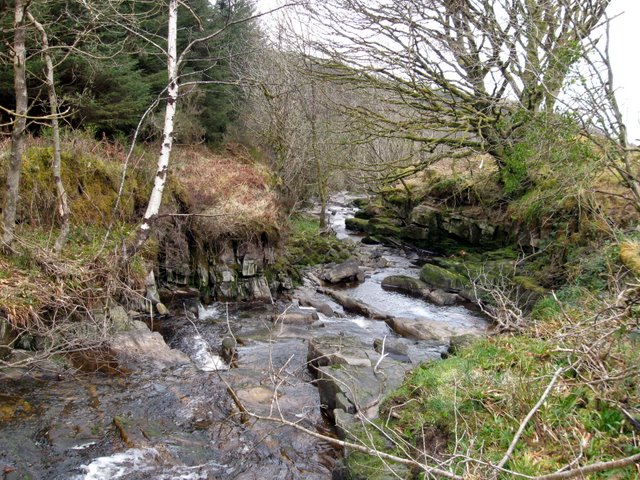 BarrowBarrow, pond barrow · 763 yd
 St Patrick's WellSpring · 840 yd
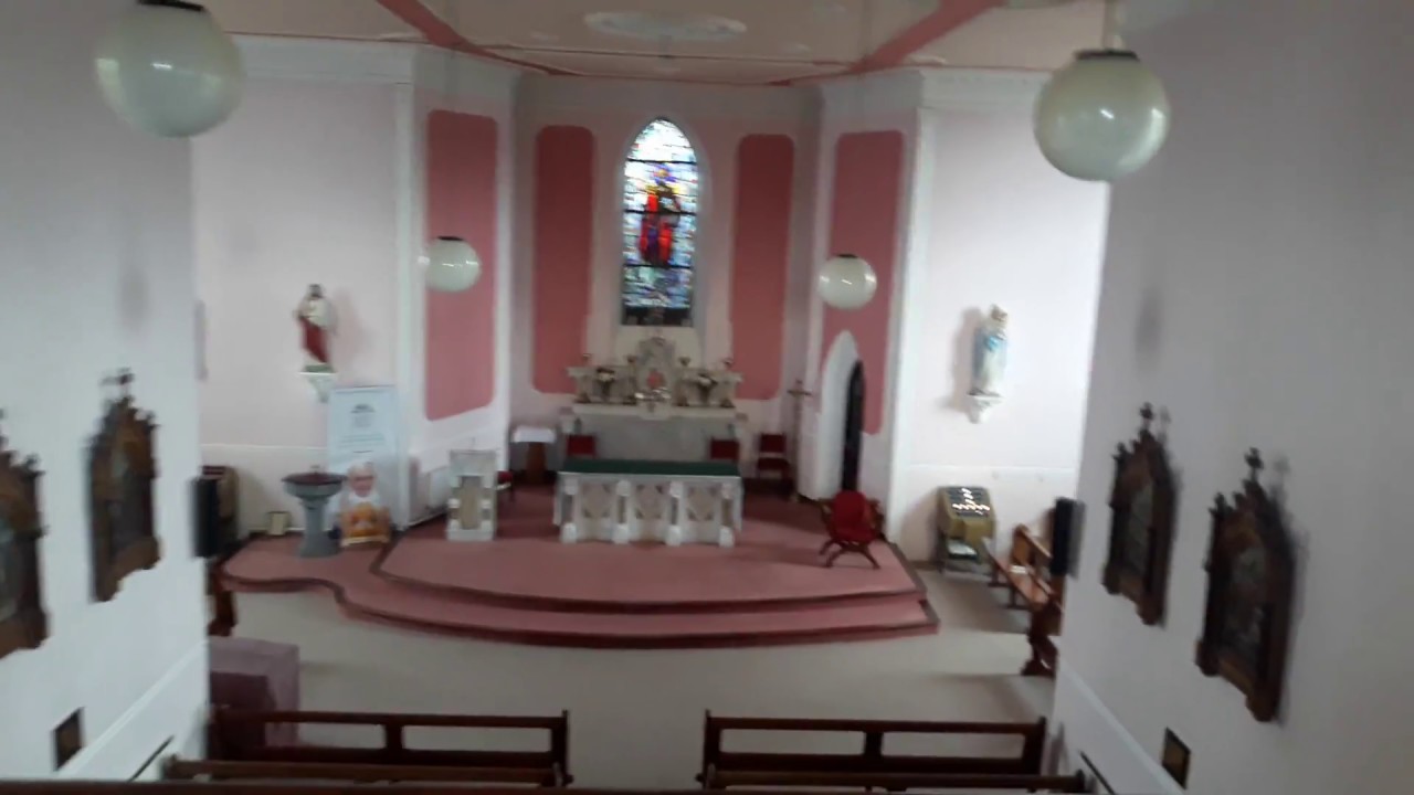 Church (in Ruins)Church · 875 yd
 Castle (in ruins)Castle, tower house · 882 yd
 Saint Patrick's WellSpring · 1.0 mi
 Ryves CastleCastle, unclassified · 1.2 mi
 Ballinvreena LoopVisitor information · 2.8 mi
 SlievereaghMountain / peak · 3.1 mi
 Flat cemetery in Knockainy WestFlat cemetery · 4.1 mi
 Palatine's RockNamed rock · 5.0 mi