What is recorded here
Cloghbrack was a standing stone in Galway grassland that vanished before the twentieth century, leaving no visible trace behind. The name later shifted to a nearby stone pair, suggesting the original marker disappeared so completely that people reassigned its identity rather than remember it. What stood there may have guided herds, marked a boundary or witnessed rituals now forgotten. Its absence is the striking feature: a place known only through the gap it left behind.
In undulating grassland, 325m S of a stone pair (GA042-010----). Marked on 1st ed. of OS 6-inch map and named thereon as 'Cloghbrack'. However, it does not appear on 3rd ed. (1920), where the name is now applied to the above mentioned stone pair. No visible surface trace survives.
The above description is derived from the published 'Archaeological Inventory of County Galway Vol. II - North Galway'. Compiled by Olive Alcock, Kathy de hÓra and Paul Gosling (Dublin: Stationery Office, 1999).
Date of upload: 05 August 2010
Likely dating to the Neolithic or Bronze Age, Cloghbrack is a standing stone possibly associated with ritual or territorial marking. Its original purpose may have been linked to local burial practices or celestial alignments, though specific folklore or use is not recorded.
The monument record does not grant public access. Check the route and ask the landowner before entering private land.
- What survives
- Recorded monument
Places near here
 Field system in AbbeytownField system · 214 yd
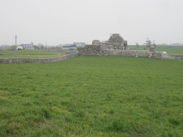 Grave YardGraveyard · 290 yd
 AbbeytownHouse, 18th/19th century · 1223 yd
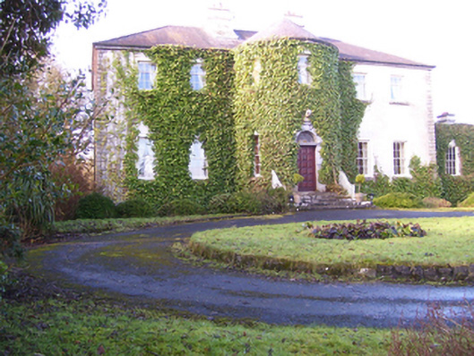 Lisdonagh Househouse · 1491 yd
 Shrule Castle in ruinsCastle, hall-house · 1.8 mi
 Shrule CastleCastle · 1.8 mi
 Pesooge PlantationForest · 2.3 mi
 Cregg PlantationForest · 2.6 mi
 Ross Errilly FriaryHeritage attraction · 3.7 mi
 Kilcoona Round TowerHeritage attraction · 4.2 mi
 Mass RockNamed rock · 5.0 mi
 Walsh's IslandIslet · 6.4 mi