What is recorded here
Two eroded limestone slabs still stand 2.2m apart on a slight Galway rise, though the northern stone has fallen prostrate and its basal packing stones have scattered. The southern slab rises 1.8m, holding the shape of a doorway or marker stripped by centuries of weather. Whatever human hands set them aligned northeast to southwest, the grassland has swallowed the reason, leaving only the distance between stones to remember.
On a slight rise in grassland. Marked on 3rd ed. of OS 6-inch map (1920) as three small dots aligned NE-SW. It consists two large eroded limestone slabs aligned as on map and set 2.2m apart. Both are subrectangular in plan, but N stone (L 1.9m) is now prostrate. Like S stone (H 1.8m), it appears to have been formerly held in place by basal-packing stones. An unclassified stone structure (GA042-011----) lay 325m to S.
The above description is derived from the published 'Archaeological Inventory of County Galway Vol. II - North Galway'. Compiled by Olive Alcock, Kathy de hÓra and Paul Gosling (Dublin: Stationery Office, 1999).
Date of upload: 05 August 2010
Likely dating to the Bronze Age, Cloghbrack, Ballinvoher may have functioned as a ritual or territorial marker. Its alignment and placement suggest possible astronomical or ceremonial significance, though specific folklore or use remains unrecorded.
The monument record does not grant public access. Check the route and ask the landowner before entering private land.
- What survives
- Recorded monument
Places near here
 Field system in AbbeytownField system · 577 yd
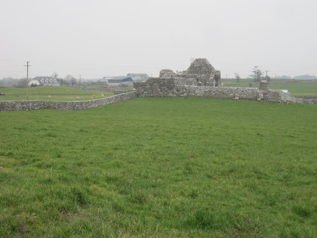 Grave YardGraveyard · 653 yd
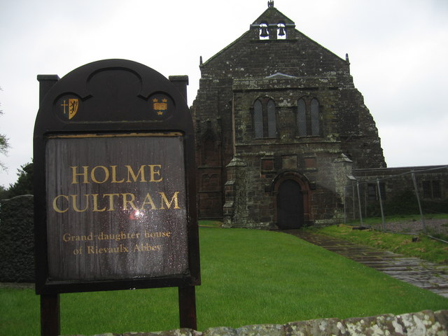 AbbeytownHouse, 18th/19th century · 1214 yd
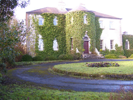 Lisdonagh Househouse · 1.1 mi
 Shrule Castle in ruinsCastle, hall-house · 1.8 mi
 Shrule CastleCastle · 1.8 mi
 Pesooge PlantationForest · 2.1 mi
 Cregg PlantationForest · 2.5 mi
 Ross Errilly FriaryHeritage attraction · 3.9 mi
 Kilcoona Round TowerHeritage attraction · 4.4 mi
 Mass RockNamed rock · 4.9 mi
 Walsh's IslandIslet · 6.6 mi