What is recorded here
Cloghauns is a fairy fort on the lower slopes of Mount Eagle, overlooking Dingle Bay in County Kerry. Its stone wall still stands beside a paved entrance and hidden underground passages, while five small structures occupy the interior today. The site has changed since the nineteenth century, losing some chambers and gaining later rebuilding, yet the original drystone work remains visible beneath the grass and scarps.
National Monument No. 156. Internal diam. 23.8m E-W, 20.5m N-S. Caher Conor/Cathair na gConchúrach: A sub-oval cashel situated on the lower S slopes of Mount Eagle overlooking Dingle Bay. The interior is now occupied by 5 structures in varying states of preservation, but other structures were formerly visible, and both the enclosing wall and the interior appear to have undergone considerable change since the site was first recorded in the 19th century. One wall passage/Man-made underground passage is now visible, but 2 others have been recorded. One of the structural stones in the cashel wall bears an inscribed cross.
Cashel wall: The enclosing wall consists of a rubble core faced externally and internally with drystone masonry, with some upright slabs forming the base of the inner face along the E sector. Where best preserved it is 3.3m wide and c. 1.7m high. The outer face can be traced around the entire S half of the site, but along the uphill N side it is completely obscured, the top of the wall being almost flush with the external ground level. However, the low stony banks and scarps in the latter area probably represent the wall remains. The outer face is also partly obscured along the E sector by a modern wall. A buttress, 1.3m high x 1.25m wide, has been built against the outer face at W for a short distance. The inner wall face is traceable around the NE half of the site, but the N section may be a later rebuilding, at least in part. Other sections of the wall may also have undergone some restoration. The paved entrance passage at SE is 3.3m long x up to 1.5m wide. A pair of opposed upright jambstones are set into the walls of the passage at about its mid-point.
Souterrains/wall passages: A Man-made underground passage passage contained within the thickness of the cashel wall at S measures 8.5m in length, 1m in width and 1.5m in height. Its drystone-built walls are corbelled inwards, particularly on the N side, and it was roofed by a series of large slabs, many of which are now missing. Near the W end of the N wall is the opening to a 2nd passage which extends as far as a large clochaun in the interior. This passage is c. 0.7m wide x .75m high and the roofing slabs rest directly on the orthostatic side walls; it is roughly L-shaped in plan.
Du Noyer (1858, 9-11) recorded 2 further wall-passages in the N section of the cashel wall, and the 2 lintelled recesses at NW and NE, and the short section of passage visible at W, may be related to these.
Guard-chamber: Du Noyer also recorded a circular guard-house contained within the thickness of the wall at SSE, access being by means of a low and angular passage from the exterior. This was no longer visible in 1899 (Macalister, 244-7), but the D-shaped depression in the upper surface of the wall here may mark its location. The lintelled recess in the inner face of the wall, directly opposite this, may have communicated with it.
Rectangular foundation: Abutting the cashel wall at E is a rectangular foundation measuring 4.75m N-S x 3.85m E-W, with an entrance in the S wall. Its drystone-built walls are c. 0.5m high.
Clochauns: (1) The corbelled drystone hut in the NW part of the interior is pointed oval in plan, but it is possible that it was originally circular and that the present S wall is secondary. It measures 4.4 x 2.45m internally and the roof is closed by a few flags at a height of 2.85m above the floor. The lintelled doorway at SE is 1.01m long, 1.2m high and .73 to .8m wide.
(2) The large circular clochaun in the W sector measures 5.1m in diameter internally and the corbelled drystone wall stands to a maximum height of 2.85m. The entrance at E is 1.45m high, 1.6m long and .65m wide, and its inner end is flanked on either side by an orthostat c. 1m high. The Man-made underground passage opens into this hut at ground level a little S of the entrance.
(3) An almost complete drystone corbelled structure located directly SE of (2). It is sub-rectangular in plan internally, measuring 3.1m E-W x 2.55m N-S, and the walls stand to a maximum height of 3.05m. The lintelled entrance at NE is 1.33m high, .75m wide and .85m long. The function of the 2 low uprights in the interior is uncertain.
Rectangular Enclosure: Both huts (2) and (3) open into a generally rectangular enclosure, measuring 7.75m E-W x 6.1m N-S, with walls c. 1m high and an entrance in the E wall. Both Du Noyer and Macalister recorded 2 small chambers in the SE and NE corners of this, Du Noyer describing them as 'still perfect'; no trace now survives.
Possible huts: Du Noyer and Macalister noted the remains of other huts in the N and NE part of the interior, but only very vague traces of these are now visible. Macalister also noted a small rectangular foundation directly N of the entrance.
Cross-inscribed slab: A large upright slab which forms part of the inner face of the cashel wall at ESE bears a very faint equal-armed cross, possibly with expanded terminals.
The above description is derived from J. Cuppage, ‘Corca Dhuibhne. Dingle Peninsula archaeological survey. Ballyferriter. Oidhreacht Chorca Dhuibhne’ (1986), no. 571. In certain instances the entries have been revised and updated in the light of recent research.
Date of upload: 7 August 2013
Cloghauns, Gleann Fán is a sub-oval cashel, likely dating to the early medieval period, associated with local folklore referring to it as "Caher Conor" or "Cathair na gConchúrach." It is situated on the southern slopes of Mount Eagle, overlooking Dingle Bay, and was probably used as a defensive or religious site.
The monument record does not grant public access. Check the route and ask the landowner before entering private land.
- What survives
- Recorded monument
Places near here
 Enclosure in Gleann FánEnclosure · 179 yd
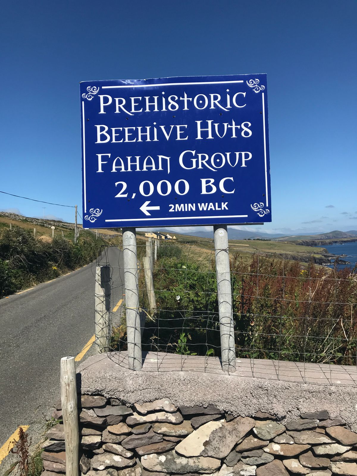 Fahan Beehive HutsHeritage attraction · 279 yd
 Fairy fort / stone ringfort in FánFairy fort / stone ringfort · 360 yd
 Irish Famine CottagesMuseum · 832 yd
 Binn an ChomaMountain / peak · 1737 yd
 Sliabh an IolairMountain / peak · 1.2 mi
 Ceann SléibheHeadland · 1.5 mi
 Traigh an ChomaBeach / strand · 1.9 mi
 Church in Cill Ura ThoirChurch · 2.0 mi
 Faill BearnaiscCliff · 2.0 mi
 Church in Baile An GhleannaChurch · 2.2 mi
 Dunmore HeadViewpoint · 2.5 mi