What is recorded here
Cloghanaffrin/Cloch an Aifrinn: Located in rough pasture, in a commanding position close to the Spunkane-Termons townland boundary, this upright cross-inscribed stone overlooks Lough Currane to S and Ballinskelligs Bay to W. Widening at the top, the trapezoidal slab stands .98m high and measures .27m x .12m at base; NE-SW. The better preserved SE face bears a grooved Latin cross with broad triangular expansions at its terminals. A similar, though smaller, cross occurs on the other face. The OSNB records that in former times Mass was celebrated here (Drummod, 3).
The above description is derived from O'Sullivan, A. and Sheehan, J. (compilers) 'The Iveragh peninsula: an archaeological survey of South Kerry'. Cork University press. (1996), no. 970. In certain instances the entries have been revised and updated in the light of recent research.
Date of upload: 13 June 2013
Probably dating to the early Christian period (5th–10th century), the cross-inscribed stone at Cloghanaffrin may have served a commemorative or territorial function, possibly linked to local monastic or ecclesiastical activity. Such stones are often associated with early Christian settlements or pilgrimage routes in west Kerry.
The monument record does not grant public access. Check the route and ask the landowner before entering private land.
- What survives
- Recorded monument
Places near here
 Indicated (1846).Fairy fort / earthen ringfort · 418 yd
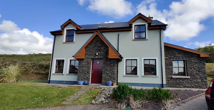 Leacht in TermonsLeacht · 764 yd
 Iveragh Lodgehunting/fishing lodge · 1467 yd
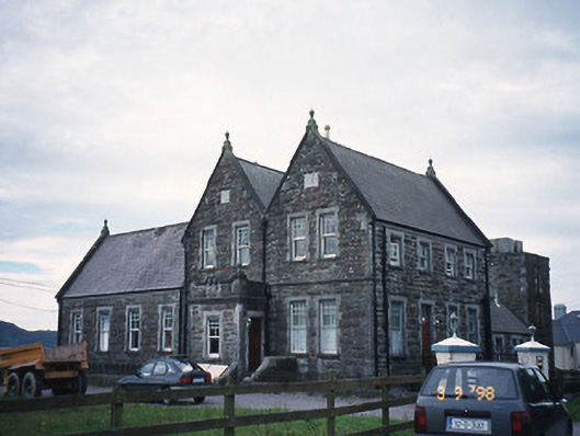 The Cable Stationcoastguard station · 1626 yd
 Butler MemorialMemorial · 1.2 mi
 T. C. Millerick MemorialMemorial · 1.3 mi
 Waterville PromenadeWalking route · 1.4 mi
 Inny StrandBeach / strand · 1.7 mi
 CastleCastle, tower house · 1.8 mi
 Reenrow BeachBeach / strand · 2.5 mi
 Emlagh LoopWalking route · 2.6 mi
 CoomduffMountain / peak · 2.9 mi