What is recorded here
Near Éire Carraig a site called Clochán na hUairí (information: B Ó Cíobháin). This probable hut was not located.
The above description is derived from A. O'Sullivan and J. Sheehan (compilers), 'The Iveragh peninsula: an archaeological survey of South Kerry'. Cork University Press (1996), no. 1432. In certain instances the entries have been revised and updated in the light of recent research.
Date of upload: 1 August 2013
The monument record does not grant public access. Check the route and ask the landowner before entering private land.
- What survives
- Recorded monument
Places near here
 BeenreaghMountain / peak · 1072 yd
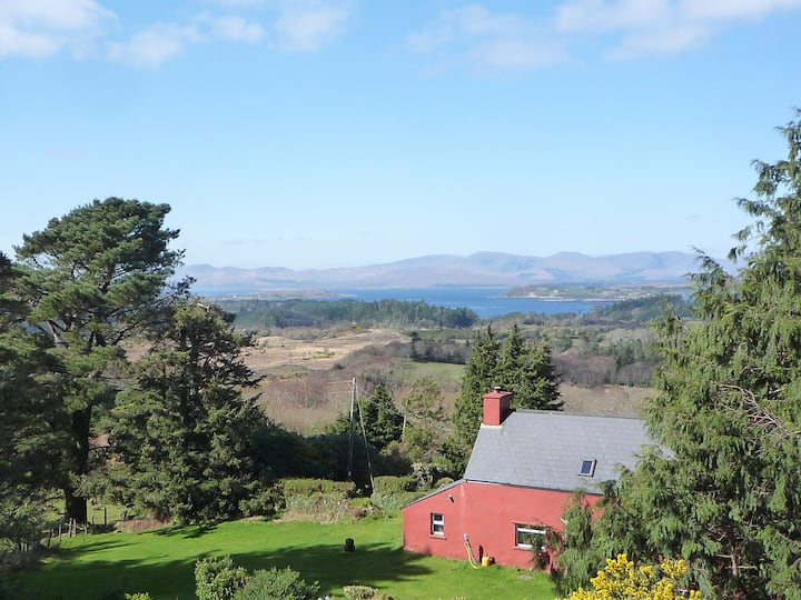 Enclosure in Creeveen (iveragh By.)Enclosure · 1240 yd
 Field system in Keel (iveragh By.)Field system · 1264 yd
 Meenteog South-East TopMountain / peak · 2.4 mi
 Blackstones Bridgebridge · 2.6 mi
 R.C. Chapel (in Ruins)Church · 2.9 mi
 Mountain StageViewpoint · 4.7 mi
 Rossbeigh BeachBeach / strand · 4.9 mi
 Kerry Bog VillageHeritage attraction · 5.6 mi
 FeaklecallyHeadland · 5.7 mi
 Lough Nambrackdarrig Nature ReserveNature reserve · 5.8 mi
 Soft Tree-fernSoft Tree-fern · 7.0 mi