What is recorded here
Clochan in Clonamery is a ruined circular stone house on the highest point of a ridge beside the medieval church. Carrigan recorded two such structures in 1905, but only one remains visible today as a low, broad cairn in rough pasture. The missing half may have collapsed, been reused, or simply vanished under grass and time. What survives is a shadow of a dwelling, caught between monument and memory, still marking the ridge where people once lived or prayed.
At the NW end of a NW-SE ridge, c. 73m W of the W gable of Clonamery church (KK033-021001-), in rough pasture. According to Carrigan (1905, vol. 4, 121), outside the graveyard wall of the medieval church of Clonamery (KK033-021001-), 'to the W, 'at a distance of five [25m] or six perches [30m] from the church, and occupying the highest point of the elevated ridge on which the sacred edifice stands, may be noticed the foundations of two of those circular clochawns, or bee-hive shaped stone houses of which we read in connection with our ancient Celtic monasteries. One is 14½ ft. [4.42m] in diameter, the other 11ft. [3.35m]'. Only one of these structures is visible at ground level. It is a roughly circular cairn (overall diam. 0.71m N-S; 7.4m E-W; diam. at top 2.2m N-S; 1.5m E-W; H 0.35m to upslope; H 1.4m above downslope), possibly with internal kerbing, though there is only one stone evident with its flat-face towards the interior. The base of the cairn to W and NW is defined by kerbing.
Visited by: Jean Farrelly
Date of upload: 23 January 2017
The monument record does not grant public access. Check the route and ask the landowner before entering private land.
- What survives
- Recorded monument
Places near here
 Clonamery Church (in ruins)Church · 94 yd
 Clonamery Castle (in Ruins)Castle, unclassified · 372 yd
 Enclosure in ClonameryEnclosure · 463 yd
 CastleCastle, unclassified · 706 yd
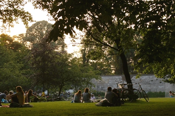 Woodstock ForestForest · 1073 yd
 Brownsford Ringfort (Rath)Archaeological place · 1.2 mi
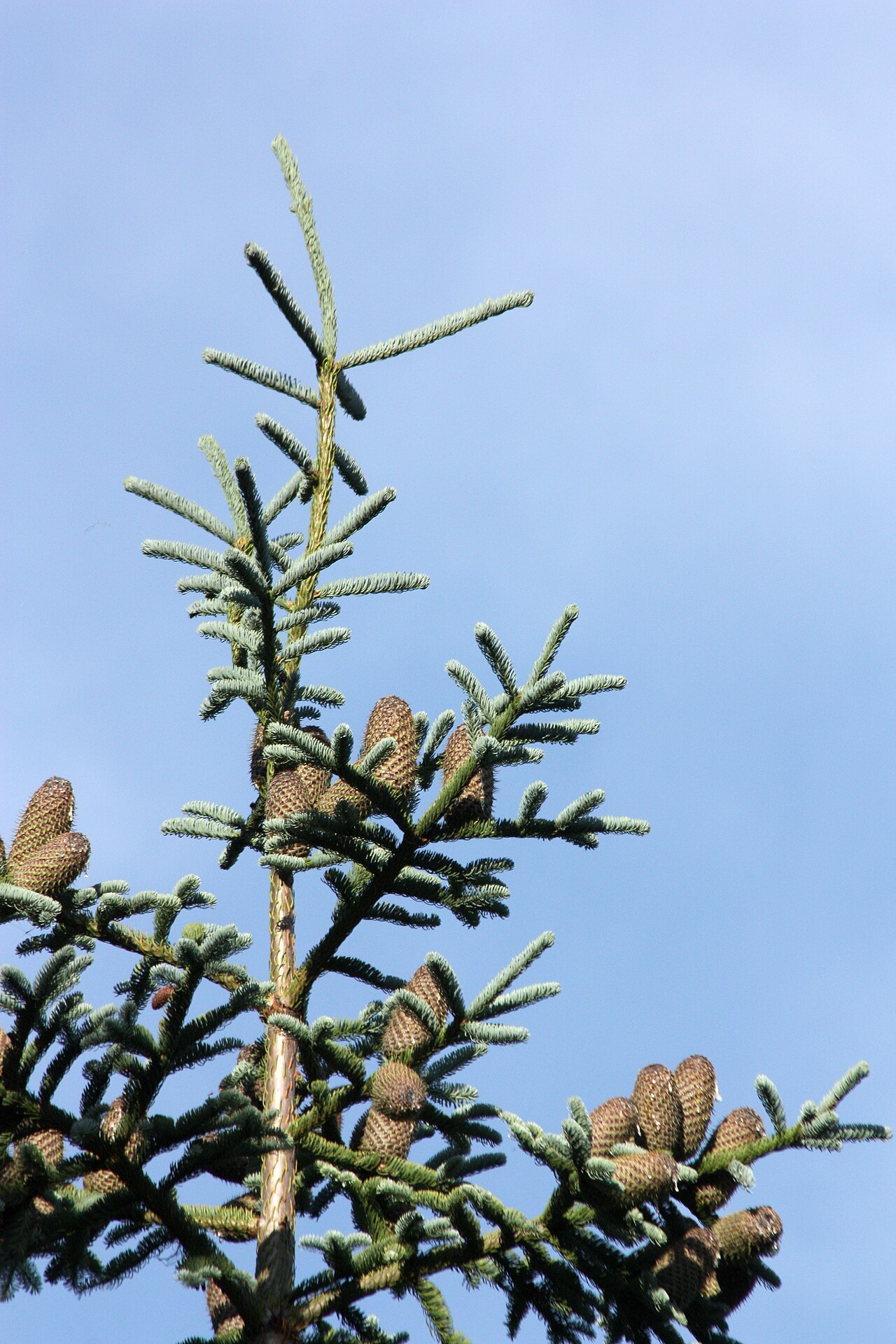 Noble FirNoble Fir · 1.2 mi
 Woodstock Gardens and ArboretumHeritage attraction · 1.2 mi
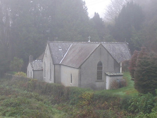 Saint Brendan's Catholic Churchchurch/chapel · 1.3 mi
 Mount AltoMountain / peak · 1.7 mi
 InistiogeVisitor information · 1.9 mi
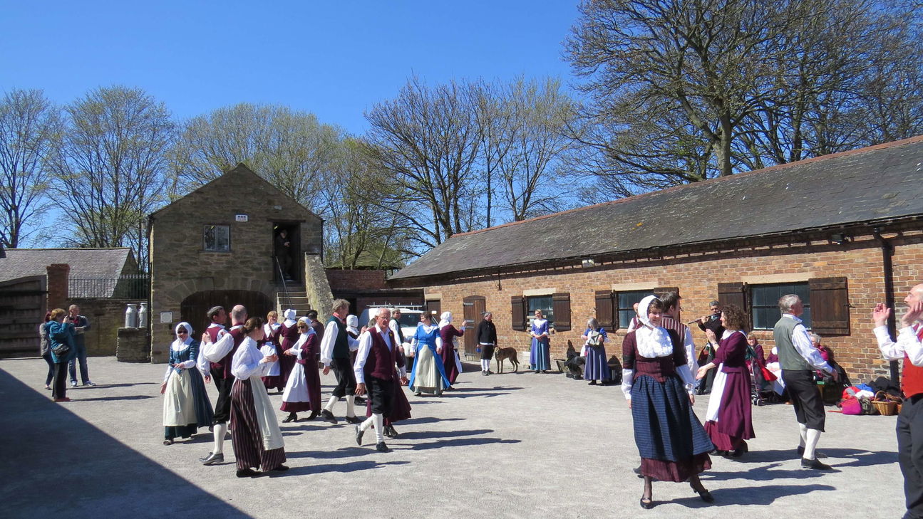 Woodstock Heritage MuseumMuseum · 2.0 mi