What is recorded here
Scotland's National Record of the Historic Environment records Clementine as Obstruction (period Unassigned)(possible). The official map says its point is accurate as follows: NGR given to the nearest 1m. The record does not by itself mean that the public may enter the place.
Clementine was a small vessel, likely a coaster or fishing boat, active in Scottish coastal waters during the 19th or early 20th century. It was lost in a storm near the Scottish coast, with no confirmed details on lives or cargo lost, though its wreck remains a marker of regional maritime activity and hazard.
The historic-place record does not grant public access. Check current conditions and ownership before entering land or a building.
Places near here
 Carra CastleCastle · 444 yd
 Cushendun Parish ChurchHall · 497 yd
 Glendun HotelHotel · 545 yd
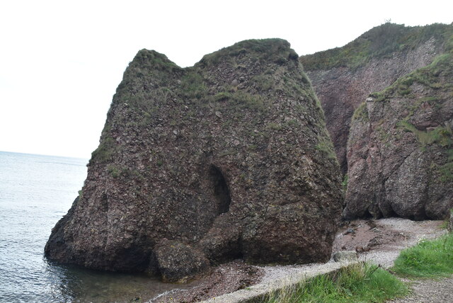 Caves of CushendunHeritage attraction · 626 yd
 A.P. SITEA.P. SITE, ENCLOSURE · 1677 yd
 STONE ENCLOSURE in CorrymellaghSTONE ENCLOSURE · 1.0 mi
 HOUSE: OLD CASTLE in LaydHOUSE: OLD CASTLE · 2.4 mi
 The Glens of AntrimViewpoint · 3.4 mi
 CarnanmoreMountain / peak · 4.1 mi
 Ballypatrick Forest Trails - 1 Cairn TrailWalking route · 4.4 mi
 Torr HeadViewpoint · 4.7 mi
 Ballypatrick ForestForest · 4.7 mi